
Wednesday, August 12, 2020
I knew that I was not going to make it to Denman Island or Hornby Island leaving from our place near Qualicum Beach from my previous (albeit not serious) attempt. So after scouting out nearby launch sites from paddling.com I decided to cross to Denman Island from Deep Bay, which was approximately a 15-minute drive up the island. I decided to leave from the point at the base of the peninsula so that I could make a direct crossing. I planned to make it across Baynes Sound and then explore the southern tip of Denman Island, the coastline surrounding Boyle Point Provincial Park and Protected Area.
The winds looked to be light but it was a long crossing to make for the evening. I was sure to pack my lights.
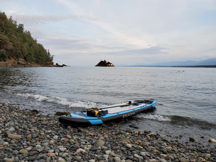
The tide was low at my departure so I pumped up my board just off to the side of Deep Bay Drive then walked down over the sea shrubs to the shoreline. Below is the view from the shoreline looking northeast towards Denman Island with Chrome Island to the right and Hornby Island in the background.

I made a fairly direct crossing which was just under two kilometers. Then I paddled southeast down along the north western coastline. I was not the only one who had this paddle in mind. I crossed paths with a kayaker who was setting up camp for the night on the shore. What a beautiful spot to stop I thought. It gave me some future paddling goals to aspire to.
I continued on and came across a nice little cove where I decided to land. It seems it is a common stop as I found the remnants of a fire as well as an array of shells from an oyster feast! And I was not alone on my isolated beach. I was slightly startled by a deer.
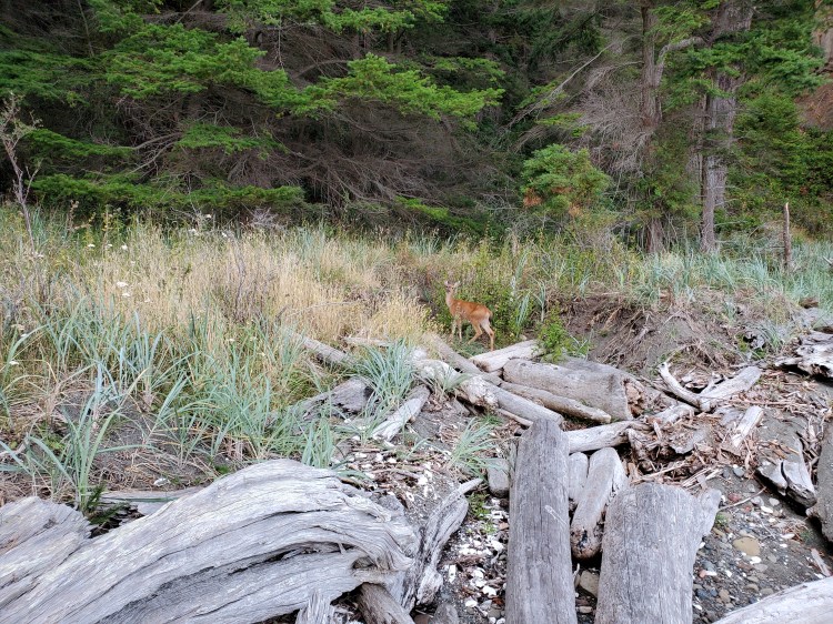
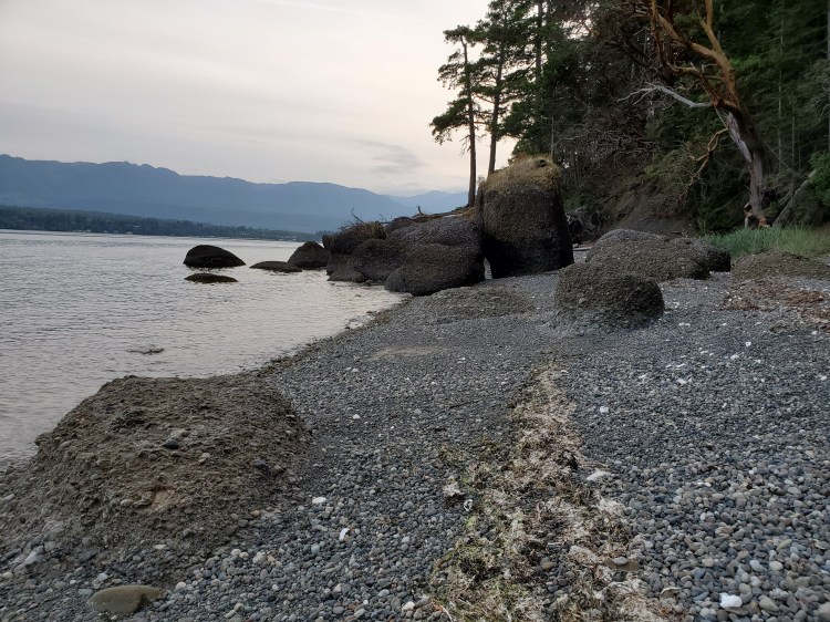
There were these interesting formations on the west side of the beach. I am not exactly sure what they are or how they formed.
Looking out towards the lighthouse on Chrome Island I could not resist the urge to go out to explore.
There was a nice underwater land shelf as I paddled out towards Chrome Island and the seafloor was visible a ways offshore. It was smooth paddling on the leeward side of Chrome Island. However, when I rounded the eastern tip and exposed myself to the windward side it got a little bit hairy. Nothing that I could not handle but I was not stopping to take any photos. This was despite the spectacular natural beauty of the water eroded shoreline. Here is an interesting short history on Chrome Island for the lighthouse curious.
On my return paddle, I talked briefly with the kayaker. He was completing a longer journey of several days. It inspired me to look more into touring paddling trips and I can’t wait for next summer for some overnight adventures. Currently, I have my eyes set on completing the Sea to Sky Marine Trail which is part of the BC Marine Trails network.
Below is my route. On Google Maps Chrome Island barely appears in the map view as a land structure but you can see it if you switch to the satellite view.
My Route

