
Monday, March 8, 12021 HE
The weather was great! A sign of the pending season change. After some quick morning errands, I was able to get out on the water. There was a bit of a westerly wind with the tide going out so I decided to paddle from Vanier Park. This would give me the wind at my back on my return paddle. It was a good thing too, as it turned out to be windier than forecast.
Before leaving my place I remember to pack a garden hose. The last time that I was down at Vanier Park I check out the wash station. It was full of water, but from what I could feel, if I brought down a hose I would be able to wash my kit in the parking lot rather than at home. This would be a great winter perk as our building turns off the outdoor taps for the winter. So all winter I have been washing my board in the parking garage with buckets of water that I have carried down from our unit. Not the ideal set-up to say the least.
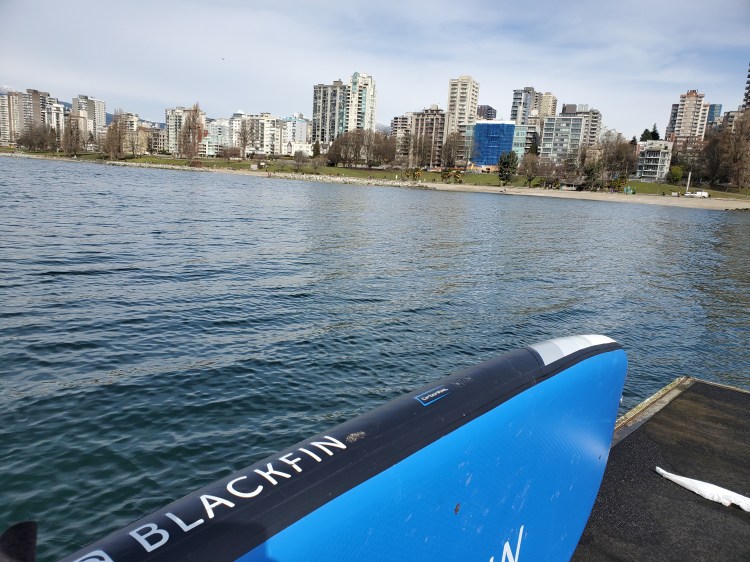
After getting out of False Creek I decided to head straight into the northwesterly winds and then work on some pivot turns between some of the buoys in the bay off of Kitsilano Beach.
The view to the northeast of the Northshore Mountains was spectacular.
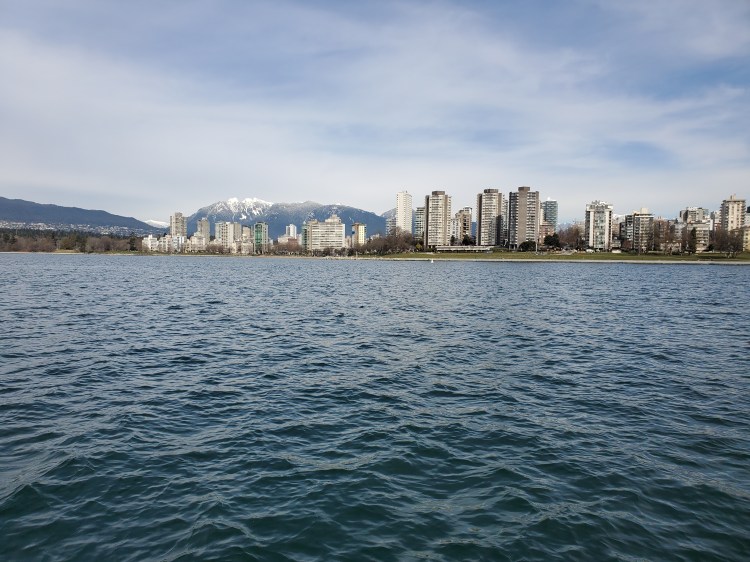
And towards the northwest, I could see the Cypress Mountain ski area. And in the background to the left on the photo below are Tetrahedron Peak (centre), Panther Peak (left), and Polytope Peak (right), I think?
I did a series of runs back and forth between two of the swim area buoys in the bay. I didn’t count, but from my Google Fit activity record, it looks like about seven or eight. There was enough wind that there were some very small wind waves, just enough to make it fun. I practice my pivot turns and board walking in the chop.
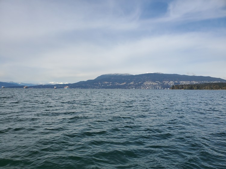
Below is the view northeastward from a bit further out on the water. The Fannin Range (i.e. Mount Seymour) is visible in the background behind the cityscape skyline.

Back on land, I was pleased to find that the wash station was not submerged this time. It was great to clean and dry my board in one go and pack it up. Well worth the Vanier Park parking lot fee. Just note that the tap head is broken and a bit jagged if you are going to put it to use.
My Route

