Friday, July 2, 12021 HE
We are on a family camping trip in Sasquatch Provincial Park, the ancestral lands of the Nłeʔkepmx Tmíxʷ, the Coast Salish, and the S’ólh Téméxw peoples, with the Lee’s and the McLean’s. We are camping at the Bench Campground near Deer Lake. I circumnavigated Deer Lake yesterday morning. And then in the late morning, we did a family trip to Hicks Lake. We had a blast with the kids SUP exploring the islands on the lake and then swimming in the small bay at the northwestern corner of the lake. Though despite the general heatwave we seemed to find a cooler spot in the province as it was overcast all morning and afternoon. After some swimming, everyone was pretty cold so we packed up to head back to the Bench.
But not after setting my sights on another circumnavigation. Since I had circumnavigated Deer Lake in the morning it seemed only right to do the same for Hicks Lake the following day. So I planned to get up early the next day.
During the night at around 03:30, I woke up to crack and then a loud crash in the woods. A tree had fallen! It sounded close and I worried that it was near a campsite. I listened but there was only silence. Eventually, I fell back asleep briefly before waking up early to set out.
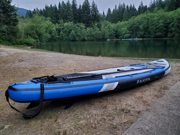
I launched from the same small bay we had been at the day before. And since I had my 2019 board with the US fin box I decided to break out my river fin. If Hicks Lake was going to be anything like Deer Lake then there would for sure be some shallow spots as well as a fair amount of deadheads. In the photo below you can see that my centre fin is actually shorter than my thruster fins.
As soon as I was on the water I could feel the difference in the stability with the shorter centre fin. Leaning to one side, my board felt like it would keep going, rather than meet resistance with my longer fin. But it was stable enough to keep me on board.
I set out counter-clockwise circling the alcove. At the most northwestern point, there is a dam and fish ladder that leads to Beaver Pond.
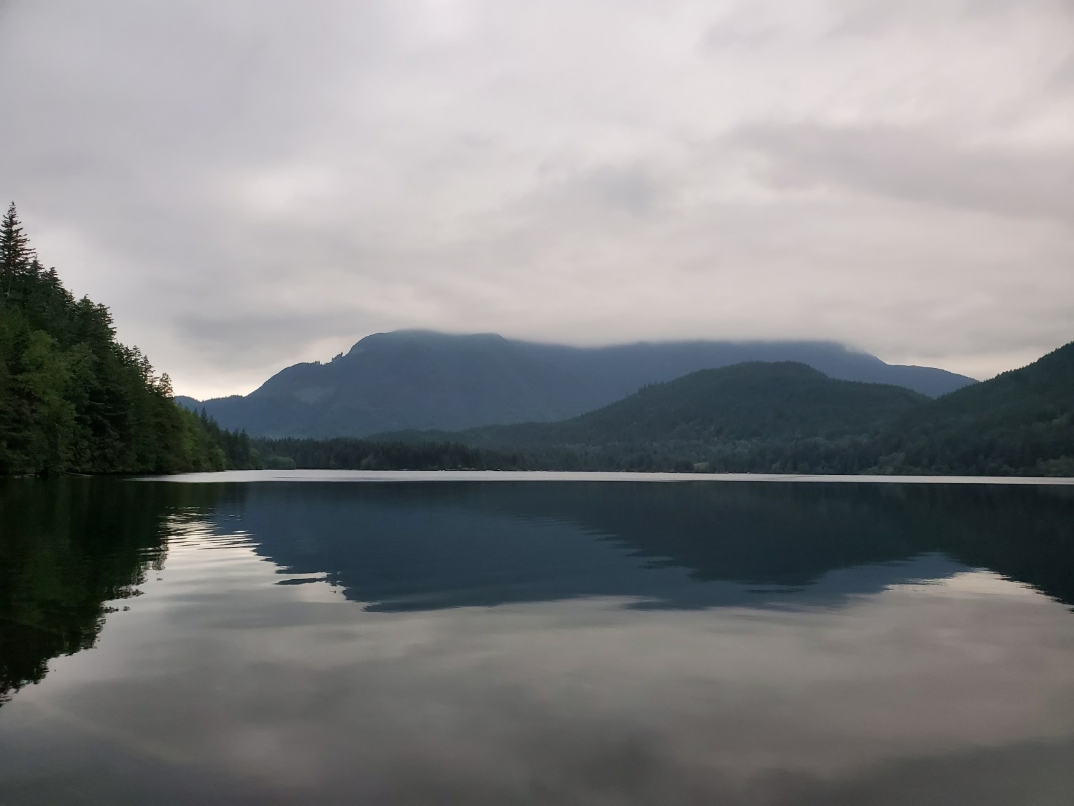
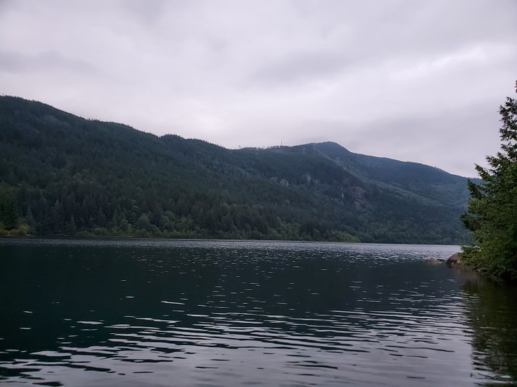
Below is the view coming out of the small cove looking northeast.
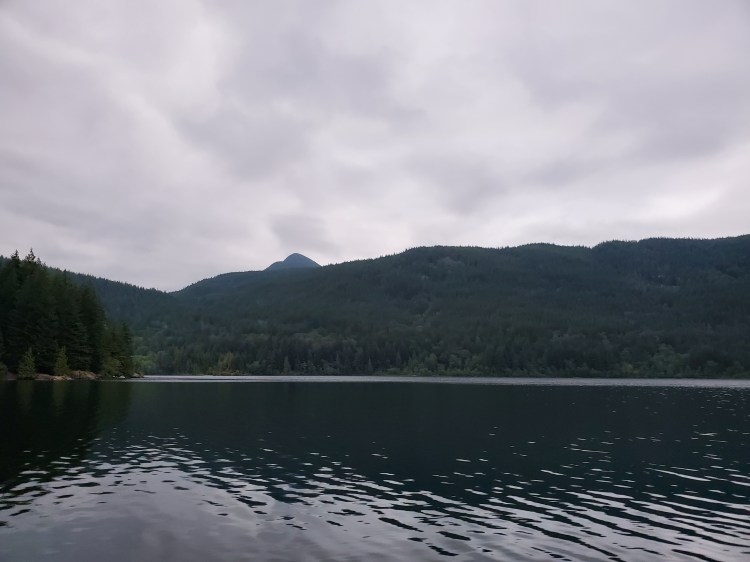
And the view southeast. At the time, I wondered if the power lines heading over the hill were the same ones that were visible from Deer Lake. It turns out that they were as per this map.
The point below had several people fishing from it the day before. There was no one there this morning. It was shallow rounding the rocks.

I was paddling around the lake more or less blind, so I was surprised to find a whole other beach area around the point. The shoreline very much reminded me of the western beach area at Alice Lake Provincial Park.
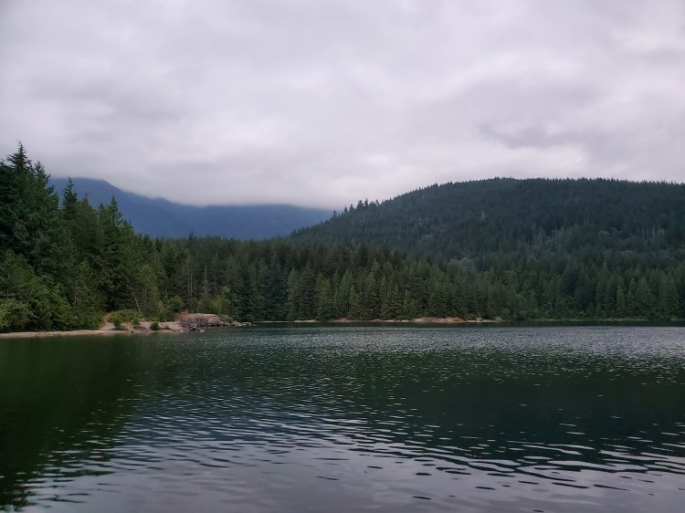
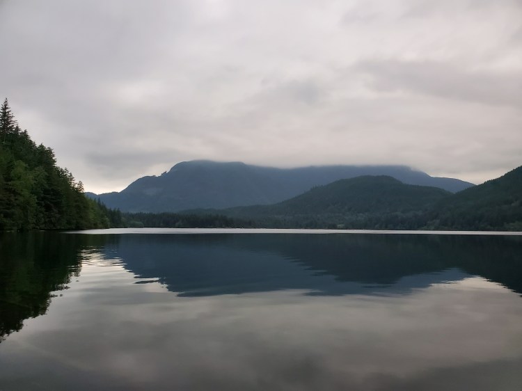
Here is the view eastward from just south of the swim area south of the Hicks Lake Campground.
There were several dead trees along the shore. It reminded me of the 03:30 wake-up. As well as the owl that I heard the night before. There would be plenty of places to make a burrow in a tree like the one below.


The water was very calm on the south side of the lake. But there was a fair amount of driftwood on the shore so there had to be times where the wind would blow trees ashore, just not today.
And there was a nice beach on the south side of the lake. I found out later that it is aptly named Sandy Beach.

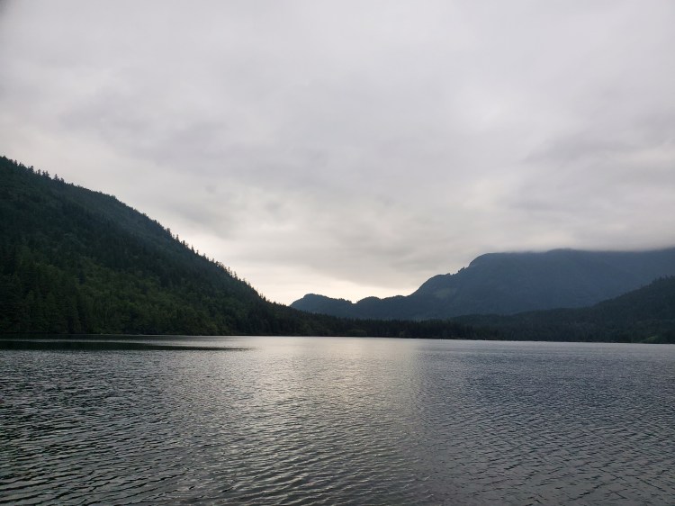
As I moved toward the southeast corner of the lake the wind started to pick up. It also looked like there might be some break in the cloud cover later in the day.
And here is an image of the remnant of the old-growth forest that was logged here in the past. What remains is the trunk with notches from the springboards that were used to fell wider based trees.

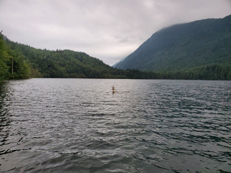
Here is one of those deadheads peering up from beneath the waters.
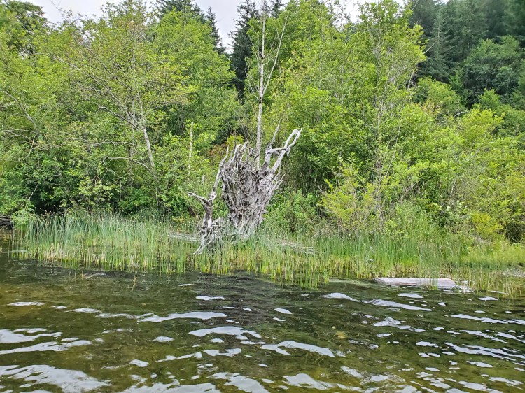
Below is an almost deadhead. This one stayed onshore. I thought the lattice of dry grey roots was striking backed by the green foliage, but the photo didn’t quite do justice to the natural beauty. I was a little late in getting to my camera and too lazy to backtrack for a better shot.
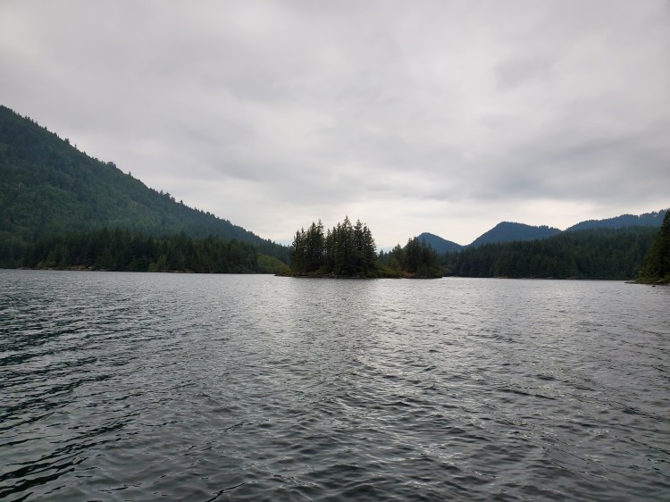
Here are the islands from the east side of the lake.
There were small wind waves along the eastern side of the lake helping me to move northward. I was tempted to get more offshore to take advantage but I decided to maintain the fidelity of more shoreline circumnavigation.
The water was quite shallow through some of the final shoreline sections. Near the Sea to Sky Paddle Sports Rental hut and in the section offshore from the picnic area I bottomed out a couple of times. If I had been using my longer fin I would have hit bottom more and/or needed to select my route differently.
Here is one last image looking out toward the islands.

The water was incredibly warm, so I stuck around for some footwork drills after my circumnavigation. I pushed the limit on my pivot turns so that I could work on my recovery when approaching the point of no return. And I did a few nose 360 turns! I doubt they were as pretty or as smooth as the link. But, I did a few of them in each direction and now feel like in flatwater I can do one on my strong side. My goofy turn still needs a bit more work to feel totally comfortable on my footwork and paddle sweep.
Below is the route that I took from my Google Fit GPS data.

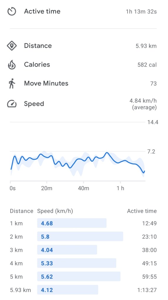
And the paddle statistics, also from Google Fit.