
Monday, August 24, 2020
I am not sure why it hasn’t dawned on me earlier to paddle in Səl̓ilw̓ət (Indian Arm). One of my first paddling experiences was kayaking down Səl̓ilw̓ət from Cates Park to Indian River to camp. I suspect the drive distance from Vancouver has been the main factor, as it is quicker and easier to paddle in the English Bay and Burrard Inlet area. But now that it is back on my radar after talking with some family friends, I decided to go and explore.
I checked my Go Paddling App to see if there were any good launch spots listed. There was one site listed but with few details. On Google Maps, it was next to Lowry Waterfront Park, which from the satellite view looked like a good launch spot. I decided to check it out with a default plan of leaving from Deep Cove if it proved to be inaccessible.
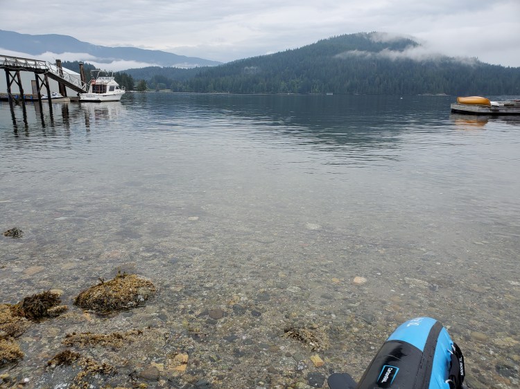
It turned out to be a good spot, though it is a rocky shoreline. Below is the view from the launch spot looking across to Boulder Island.
This was my first wear for my new paddling jacket, a Level Six Nahanni Paddling Top. It was only drizzling at the start, but I was glad to have it. It worked fine for the time I used it, but I will have to get out in some more rainy weather to get it a more solid appraisal and review.
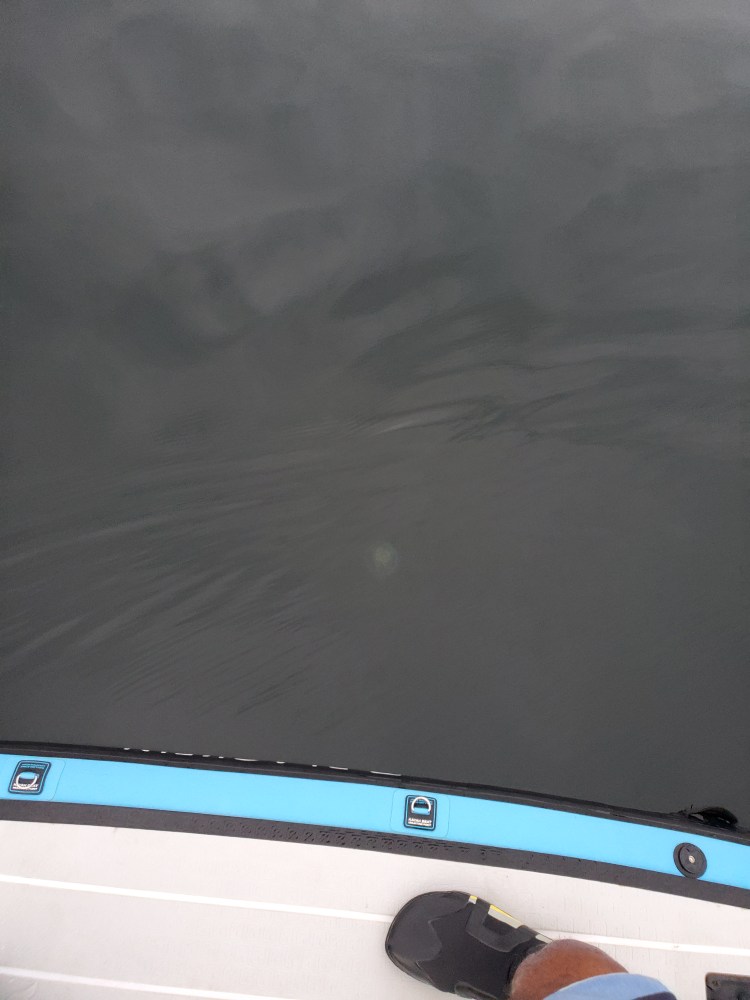
I set off paddling down the west shoreline. At some point, I noticed something white glistening underneath the water’s surface. And then a little bit later, I saw another one. My first thought was that they were submerged mooring anchors sitting just beneath the surface. Though I do realize how asinine that thought was in hindsight. It was more of a momentary idea. But, when I saw the third one, I realized that they were not mooring points. Rather, they were jellyfish. And lots of them. After realizing what they were, I then started to see them everywhere. For more information on jellyfish, check out this British Columbia Magazine article.

Here is one with a better aerial view.
And some video of one cruising along.
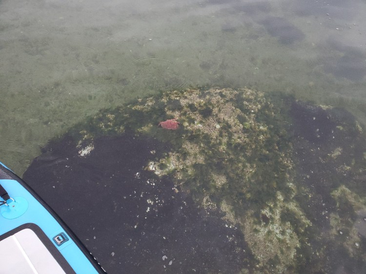
I paddled up to Grey Rocks Island and circumnavigated it. I spotted this crab in the image below just off the northwestern point of the island. I think it was a pacific red rock (this is an educated guess at best).
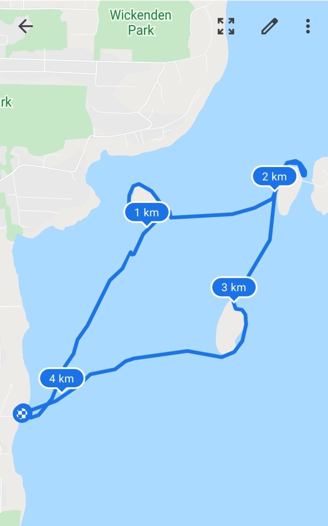
From there, I crossed the fjord to Hamber Island, which I found out that I was not able to circumnavigate. I backtracked from there and then headed back out of Səl̓ilw̓ət (Indian Arm) towards Boulder Island. I went around the east side of Boulder Island before calling it a day and paddling back over to Lowry Waterfront Park. My route is below.

Hi thanks for posting tthis
LikeLike
My pleasure. Thanks for reading and commenting.
LikeLike