Saturday, July 10, 12021 HE
I was hoping to do an afternoon paddle in the Howe Sound to check out some of the summer anabatic winds. On a hot day as the inland temperature increases the inflow winds through the sound pick up. But alas ’twas not to be. Weekend errands would mean an early morning paddle would be much more productive. Ahh, the ills of capitalist ideology.
Instead of paddling deep in the Sound, I would paddle the mouth. I set out from Whytecliff Park in West Vancouver, which according to Native-land.ca is on the ancestral lands of the Coast Salish, səl̓ilwətaɁɬ təməxʷ (Tsleil-Waututh), Skwxwú7mesh-ulh Temíx̱w (Squamish), and šxʷməθkʷəy̓əmaɁɬ təməxʷ (Musqueam) peoples. My goal was to reach Point Atkinson, which is in the same ancestral lands in addition to the S’ólh Téméxw (Stó:lō) peoples. The Native-land.ca site does provide a disclaimer that users should verify the accuracy of the information provided by contacting the nations listed. I did not do so but rather listed the nations presented as an acknowledgment to the peoples and their histories. However, throughout the rest of the blog post, I have used the western names for locations as they are generally more familiar to most readers.
There was a slight east-southeast to southeast wind forecasted. If the wind was as forecasted, I hoped to paddle into a light headwind heading to Point Atkinson and then ride the stronger tailwind on my return trip, taking advantage of the summer weather and anabatic wind phenomenon.
There was a group out taking early morning wedding photos. I guess both for the light and to beat the crowds. It looked to be a glorious morning as I set out to launch.
Below is the view from my launch in Whyte Cove with Whyte Islet with the tip of Passage Island peeking out on the right.
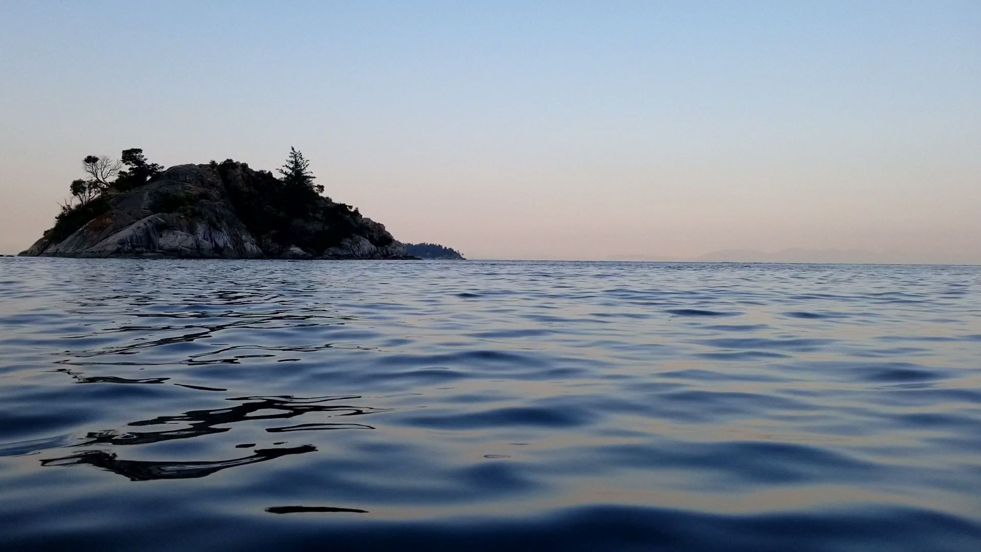
Here is the view leaving Whyte Cove as I round Whyte Islet on the left of the image. On the right, there is Passage Island which marks the entrance of the sound. Bird Islet is in the centre and, on the left behind Whyte Islet is just poking out is Batchelor Point. In the far distance backdropping Batchelor Point and running to behind Bird Islet is Point Grey.
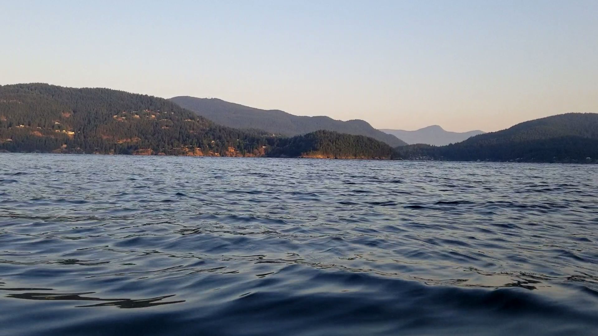
And the view back north into the sound past Whytecliff Point.

This was the view across to Bowen Island with the Sunshine Coast as the backdrop. I still hope to do a circumnavigation of Bowen Island soon. Perhaps it will be a glamping trip as at present camping on Bowen is not illegal, but doesn’t appear to be welcomed by the locals. I tried scoping out Apodaca Provincial Park a while back to get a sense of where it was and the coastline.
As I turned my attention back to the south, I set my mark on Bird Islet as I paddled past Batchelor Cove.

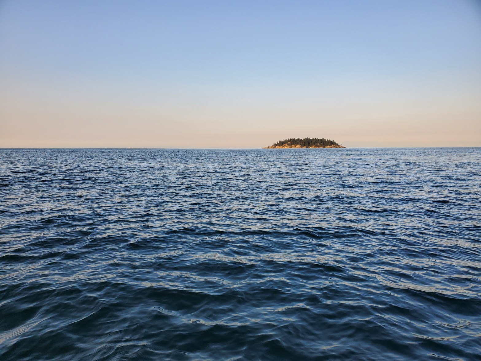
Here is the view approaching Bird Islet with Passage Island in the background on the right.
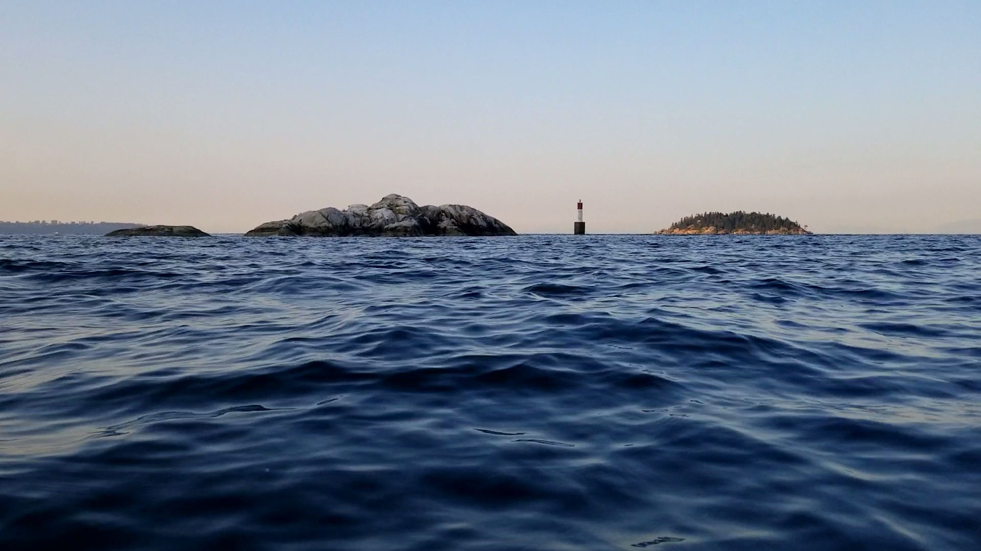
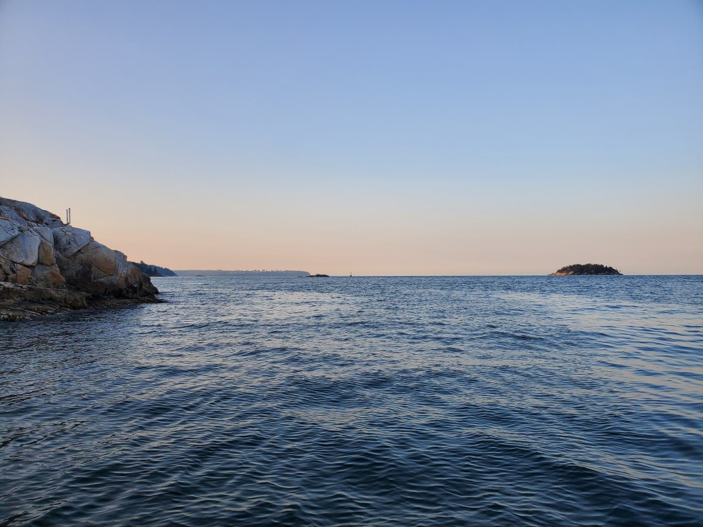
And after passing Bird Islet, below is the view of Passage Island.

My father-in-law moors his sailboat at the Thunderbird Marina, so I thought it would be fun to snap a photo of the area. It is hard to tell with the lighting, but that marks the entrance to Fisherman’s Cove (where Thunderbird Marina’s located) fronted by Eagle Island.

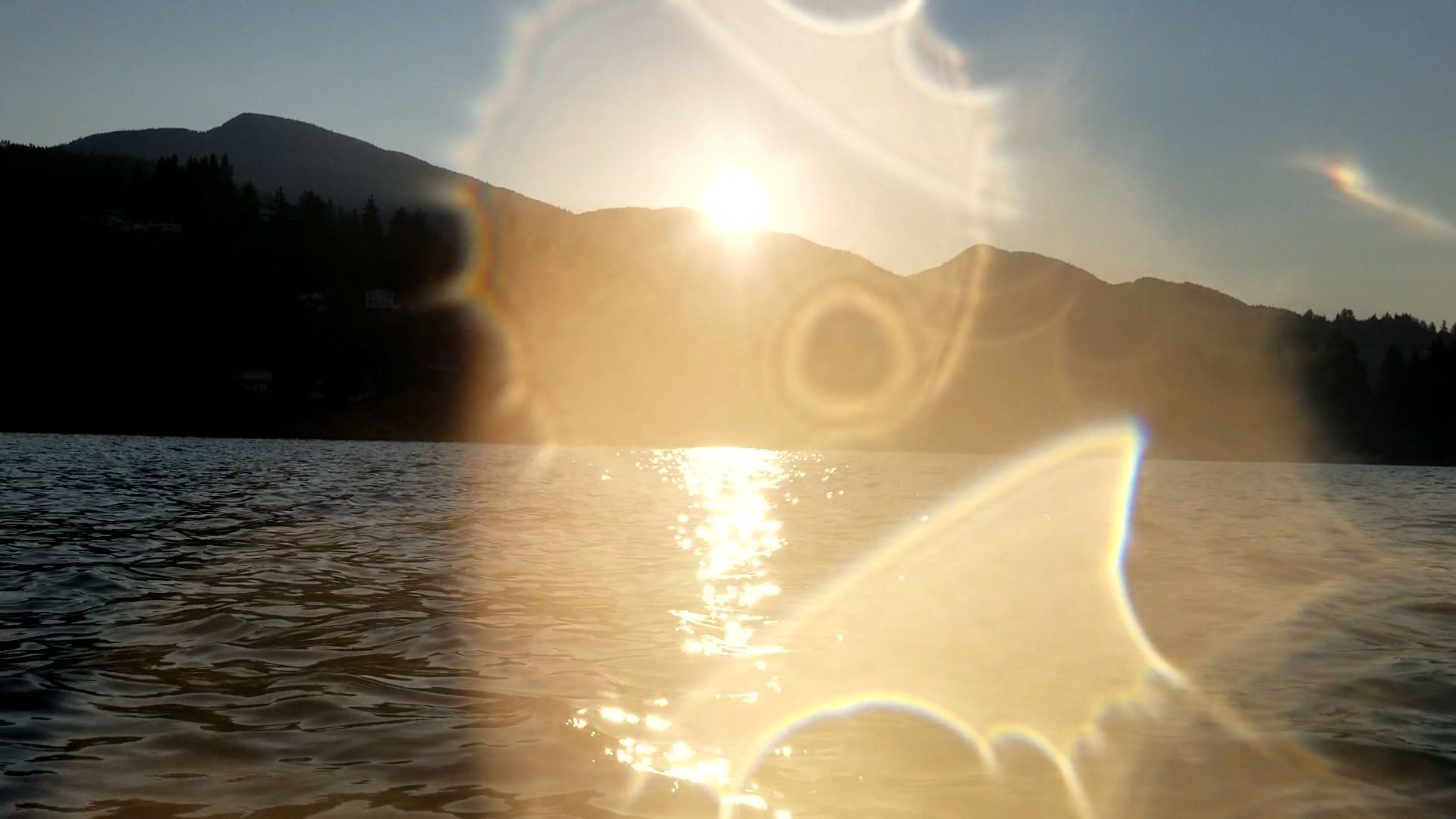
Here is a similar view but looking a bit more southerly as the sun appears over the top of the North Shore Mountains.
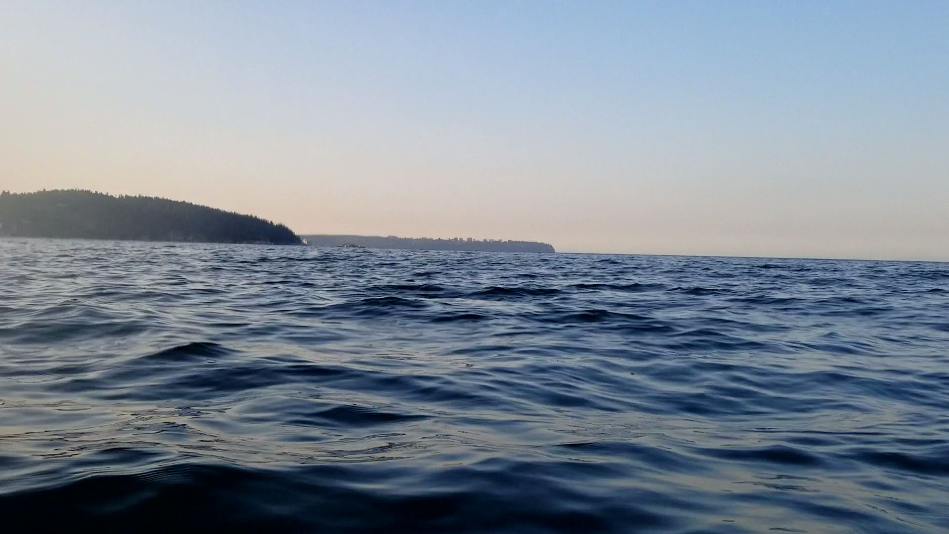
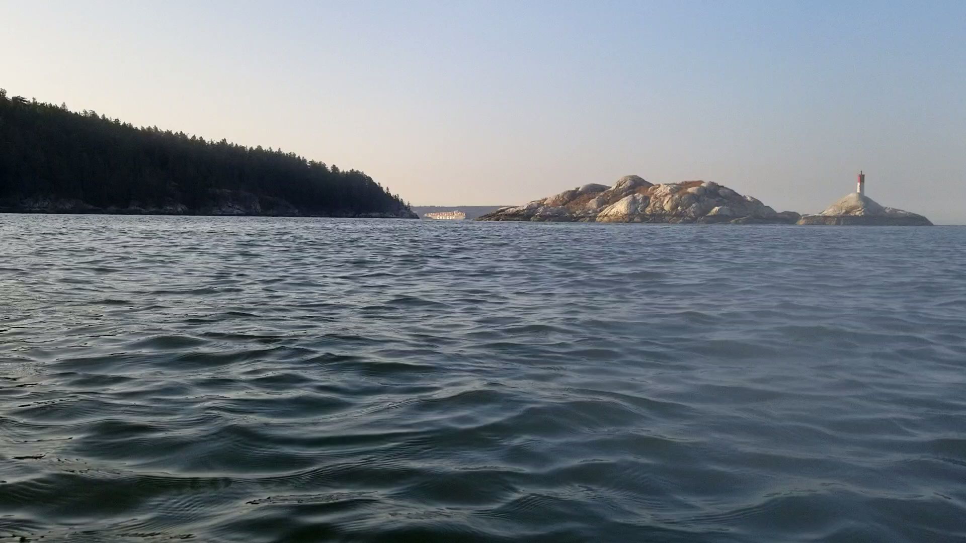
Farther off in the distance, I could now make out the Grebe Islets. I have always approached the Grebe Islets by SUP from the south (see my Canoe Kayak Conundrum post for details), so it was fun being in uncharted waters approaching them from the north. You can just see the Islets to the left of the image before Point Atkinson.
And here is the view as I approach. There was a bit more headwind as I was nearing the point and a touch of chop.
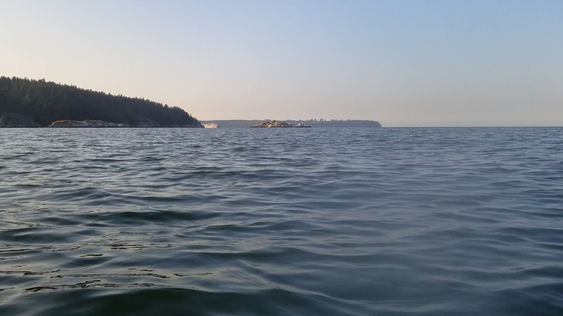
Here is the southwestern islet. I decided to paddle in between the two islets.
Once I was on the other side of the islets, I put my head down and started to paddle. One, there was a little more wind. And two, I wanted to make my destination goal in time to make it back to Vancouver for a 0930 appointment.
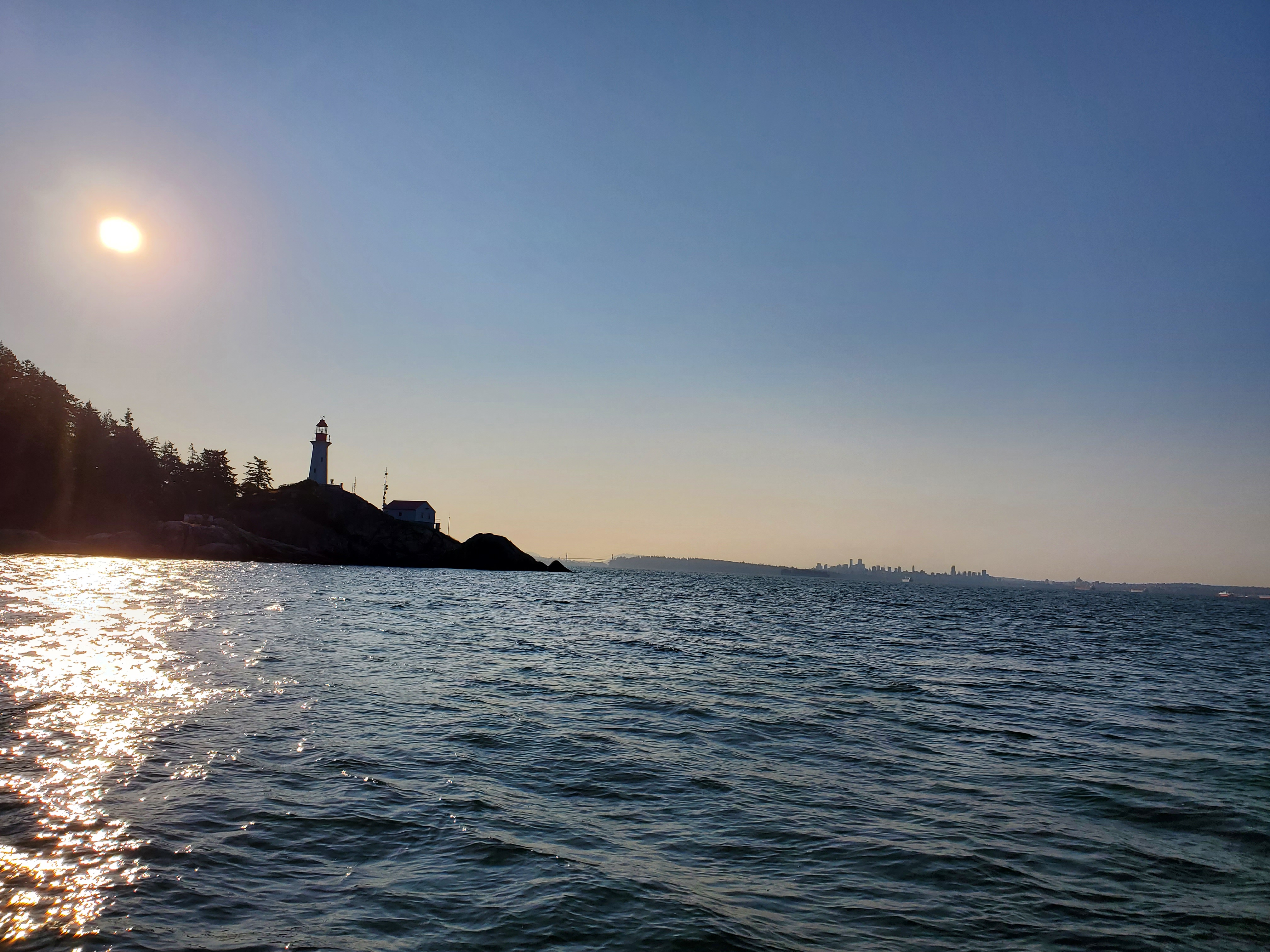
The Point Atkinson Lighthouse was now in sight and I was only a short distance away.

And a bit closer with the sun over the rise.
I paused for a quick snack to power me up for the return trip. The wind was working its magic now, and I would have a bit more assistance for my return trip. There wasn’t enough wind or fetch for any big wave action. But the waves that were forming were in the direction I was about to be heading. I paddled a bit further into the wind before turning to head back.
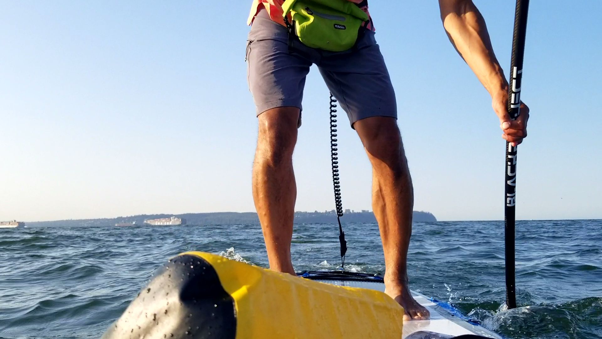
I changed my camera orientation in an attempt to get some video footage of my stroke mechanics. The field of view ends up being too small to capture what I am interested in. I will have to play around with it some more. Or get that 14-foot board I have been contemplating.

Bye-bye, Point Grey.
As I was approaching Whyte Islet there was a mini-rogue wave that formed. It was funny because I saw it coming, but it ended up being bigger than I thought. Little did I know at the time that it had knocked my camera about so much. I didn’t notice that my camera was now aiming up at the sky until I was on the other side of the islet.
This is a great entertaining and informative video on real rogue waves. It covers their history, folklore, and facts, as well as the science behind how they form.
