Saturday, January 30, 12021 HE
My original plan was to get out for an early morning twilight/sunrise paddle. A rough night of family sleep kiboshed that plan. But I was able to get out in the afternoon and perhaps it was the water gods working their magic.
When I arrived at the Jericho Beach Parking Lot there was a windsurfer setting up to going out foiling along with a few other cargo vans already parked. The cargo vans are a sign of either kiteboarders or windsurfers as they utilize the space to transport their kit. Just after I parked a second foiler arrived joining the gentleman who was already preparing his kit.
I chatted briefly with the foilers. They needed over 10 knots of wind to get a decent surf. I was definitely intrigued by the idea of foiling but at the same time seeing the additional preparations was a bit of a deterrent. Not to mention the additional storage space requirements. The transport did not seem to be as much of a problem. The cargo vans appeared to be more of a luxury than a necessity as evidenced by the midsized hatchback that one of them had their kit next to.
I finished my set up, wished them a good surf, and then was off.
As soon as I reached the water’s edge I realized that the conditions were better than I had anticipated. My plan was to paddle eastward into the wind and then surf/downwind back. The forecast on Windy.com had been for 10-12 knots of easterly wind and this was definitely that. There were even some small whitecaps out in the inlet.

There were a few other windsurfers out on the water already. They were all on foils. It was going to be a challenging paddle east but judging from the oncoming waves it would be a fun paddle back west.
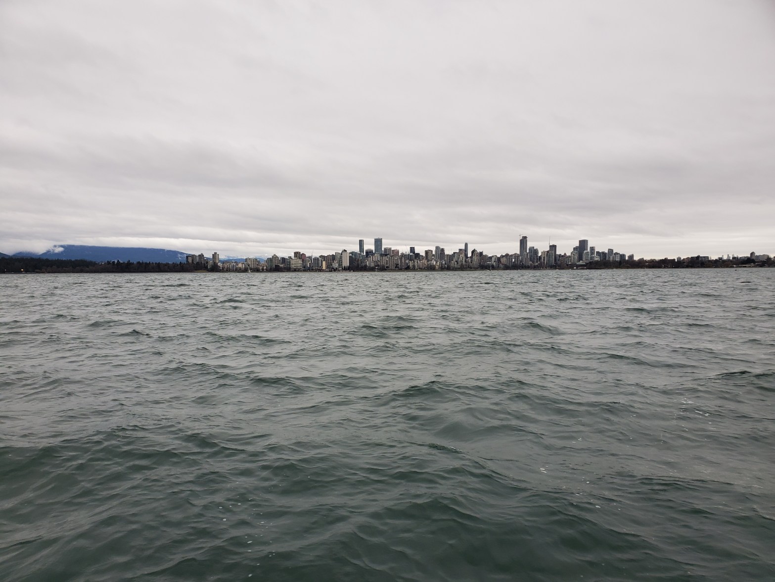
You can see the chop in the picture below.

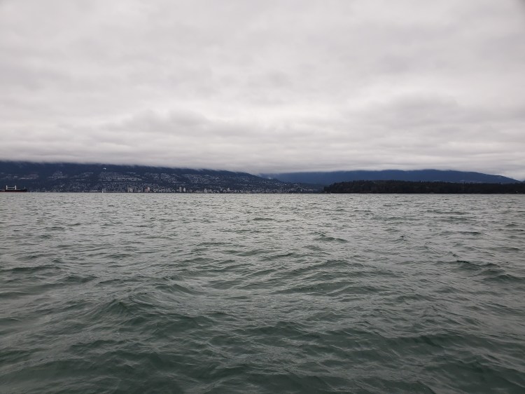
Looking back towards Point Grey you can see the windswept waters.

The photograph below is taken just before I turn around and head west. The cloud obscured North Shore Mountains can be seen on the left. The base of the Grouse Mountain area is in the foreground and the Fannin Mountain range (i.e. Mount Seymour) is in the background.

The photograph below shows Stanley Park on the right and the base of the North Shore Mountains to the left and in the background.
It was a very fast paddle back to shore. Unfortunately, following the wind and waves back had me overshoot my destination so I had to backtrack slightly.
My Route

My route to inspire me to consider the possibility of doing a downwind route from Second Beach (or English Bay) to Jericho if wind and water conditions prevail in the future.
