
Thursday, May 20, 12021 HE
It is week seven of the virtual Tuesday Night Race (vTNR) series being put on by Coast Outdoors through Deep Cove Kayak. Here is a general overview of the event.
Here are the links to my past posts on the vTNR series: vTNR#1, vTNR#2, vTNR#3, vTNR#4, vTNR#5, and vTNR#6.
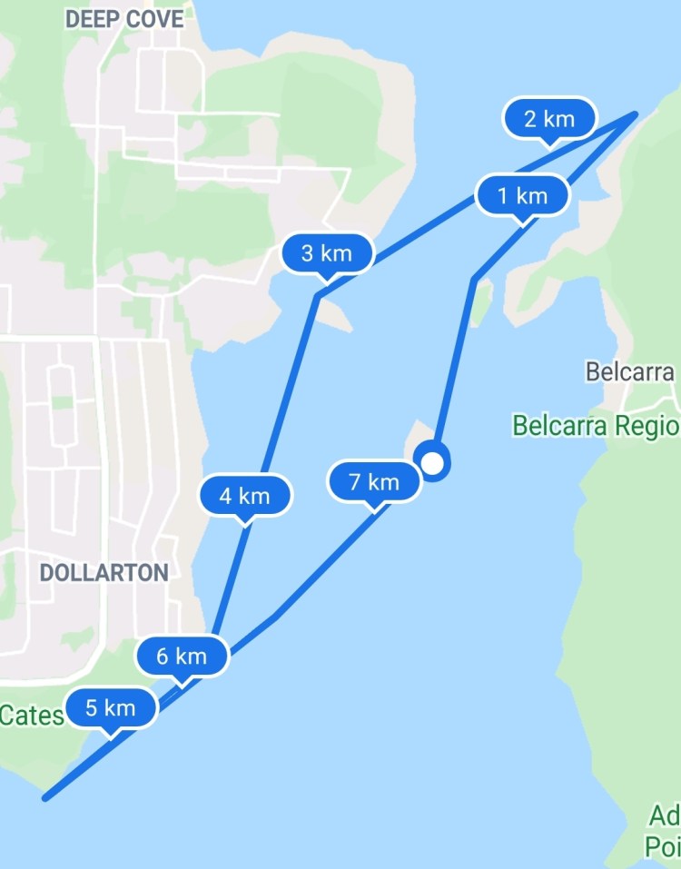
And this is the link to the course this week on webscorer. The image below is the route and here is the link to the course in Google Maps.

Below is a virtual tour of the racecourse created via Google Earth Studio using the route from the event Google Map as an overlay.
And below is an aerial view that a friend, Wil, sent me from his office window. The cockpit aerial gives a great overview of this section of Burrard Inlet and Indian Arm with the TNR starting point of Boulder Island in the centre of the fjord.

And as luck would have it, this week Wil would be joining me on the paddle along with Peter. We did an evening run getting the water around 20:00 and starting our race a quarter after. Again it would be a race against the sunset. A little extra motivation to keep the pace up!
We launched from Lowry Waterfront Park and there were quite a few SUP boards loaded into various vehicles in the parking lot. Though we would be setting in on everyone else setting out.
On the paddle over, we went over the racecourse. It was going to be low tide so we would have to go around Hamber Island rather than through the channel underneath the bridge. As a side note, I had previously been using the My Tides Time Pro app for tides but after searching for some current values on the Government of Canada’s website I came across their new tide app WaterLevelsApp. So I have been testing this app out. My Tides Time Pro works great, I just wanted to test out this new app with the hope that there are some additional add-ons as it is still currently in a beta-testing phase. I am hoping current information is added.
The water was incredibly calm, it was going to be a great evening out on the water. We made our way over to the dock, prepared our kit and GPS recordings, and then we were off!

I thought that the light refracting en route to Hamber Island looked cool so I included a still picture below. According to the light gods Wil was carrying a pocket full of gold coins.
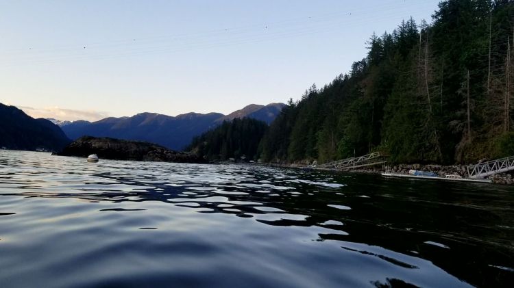
Below was visual confirmation that the only way past Hamber Island was on the fjord side or a portage underneath the bridge. We opted for the former. There was more of a headwind through this section than we had expected. The forecast has predicted more of a southerly wind up the channel. I guess the temperature had shifted enough to make the air over the ocean relatively warmer by this point in the evening.

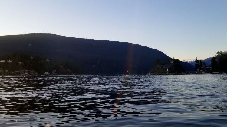
From there the next obstacle was Bikini Island. With the low tide, we need to take the long way around, though I did contemplate trying to cut through the northernmost rock outcroppings.
Below is a still shot captured during my pivot turning that shows the view northerly up the fjord.
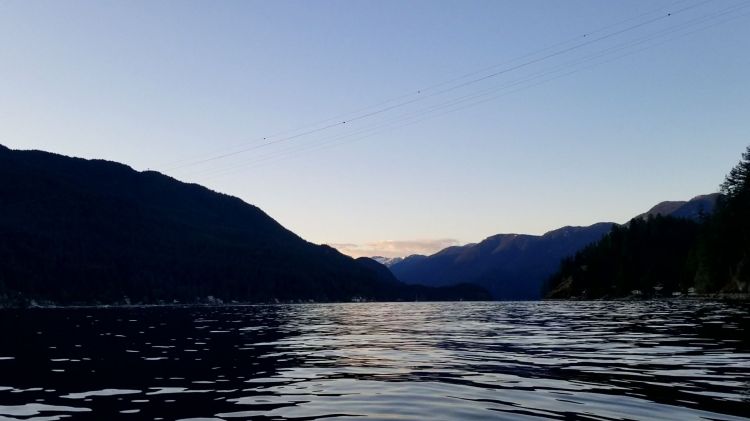
The next stop was Grey Rocks Island. The course called for you to pass on the west side of the island en route towards the lighthouse at Cates Park. I am pretty sure that I passed by Mike Darbyshire here heading north towards Deep Cove. I recognized him from the TNR debrief videos. The tip-off was that there was a fast-moving very efficient paddler heading my way.

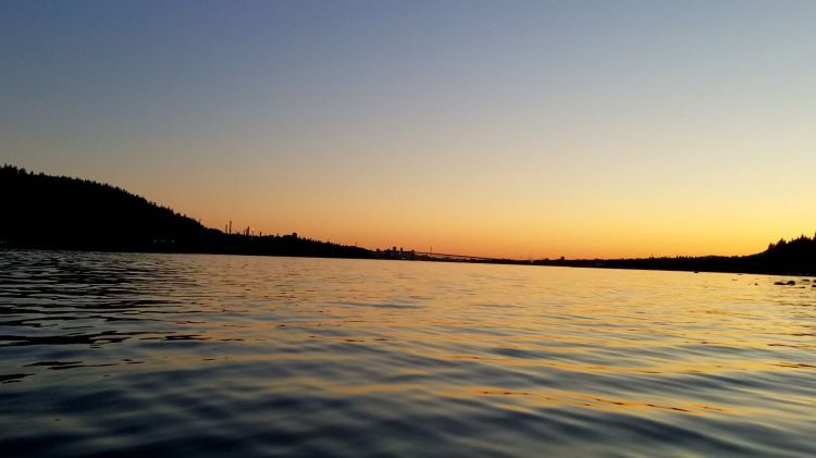
The next feature of the course was to round the lighthouse at Cates Park. En route, I thought the image below of the seagull soaring over the top of the sunset-lit waters was worth including.

I anticipated that the tide would be too low to allow a turn around the lighthouse. But I was pleasantly surprised that the waters were deep enough. The last time I was at the lighthouse for week two’s course the waters were too shallow to go around the lighthouse.
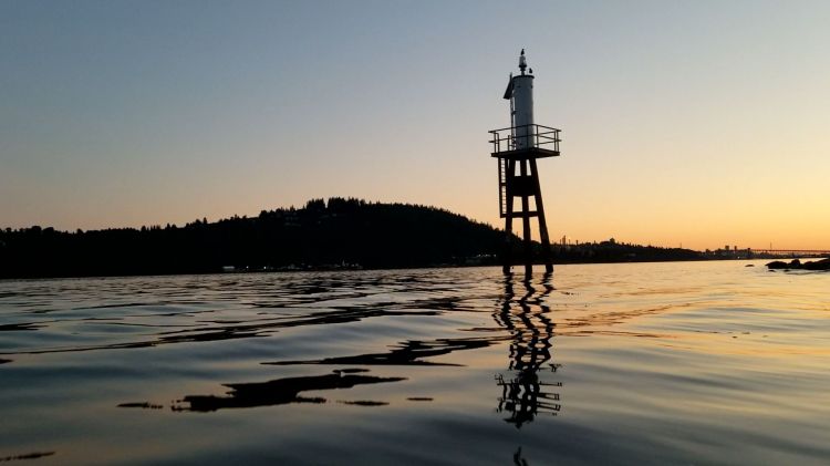
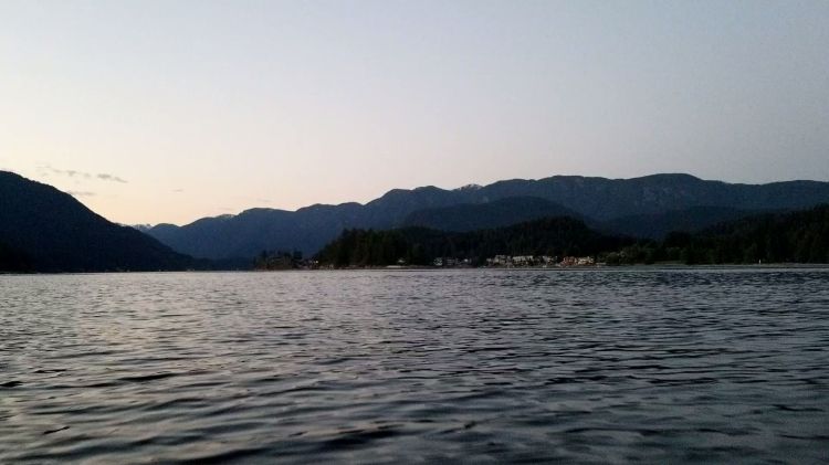
And here is the silhouetted sunset on the other side of the lighthouse as I pivot around.
And then it was the final stretch back towards Boulder Island. And back into more of a headwind although it felt lighter at this point. Though that could have been the help of the tides shifting.
Below is my route from Google Fit.
And my statistics from Google Fit are below.

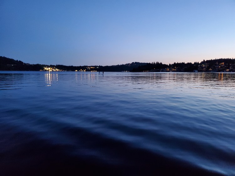
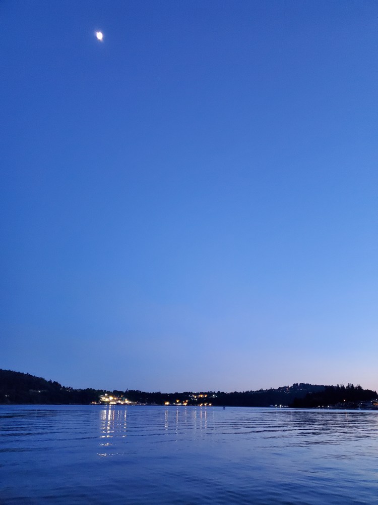
I captured a nice twilight picture of Peter and Wil completely their first local TNR.
And a similar shot as above with the moon in view.
And here are this week’s results. Participation in the under 12 foot SUP category was up. Maybe I can use this a leverage to convince Annie that I need a new board so I can change categories. 😛
And if you made it this far, you may be interested in checking out the EP video of the race time-lapsed. It is just over an hour of footage in just under six minutes.

One thought on “vTNR#7: Bikini Rocks Cates Park Lighthouse”