
Friday, May 14, 12021 HE
It is week six of the virtual Tuesday Night Race (vTNR) series being put on by Coast Outdoors through Deep Cove Kayak. Here is a general overview of the event.
Here are the links to my past posts on the vTNR series: vTNR#1, vTNR#2, vTNR#3, vTNR#4, and vTNR#5.
Here is the link to the course this week on webscorer. And below is an image of the route and the link to the course in Google Maps.

Below is a virtual tour of the race course created via Google Earth Studio.
And below is an aerial view that a friend, Wil, sent me from his office window. The cockpit aerial gives a great overview of this section of Burrard Inlet and Indian Arm with the TNR starting point of Boulder Island in the centre of the fjord.

I had planned to do an evening run of this week’s TNR so that I would have the weekend free for an exploration paddle. I guess that is the downside of participating in a weekly race. You are beholden to the course. But this week’s course was going to take me into unchartered waters. This was one of the upsides of the weekly race for me, that the course would possibly bring me somewhere I otherwise would not be paddling. In any case, the bedtime of our kids was not early enough for me to get out on the water with enough daylight. So the backup plan was to try again on Friday night. Our house rules regarding TV are laxer on Friday so I figured Annie would have an okay time putting both boys done with the TV as a little added help in the pre-bedtime routine.
Luckily I was right and I was able to get out of the house by 19:30. So I was on the water just after 20:00. I left from my regular launching point at Lowry Waterfront Park. It was busier than my typical launching times with several trucks with paddleboards on the roof in and around the parking lot. But it seemed all the SUP boarders were done on the water. I did see two kayakers out on the water, one double kayak to the south towards Cates Park crossing the fjord and a single kayak to the north towards Grey Rocks Island. I used the paddle across to Boulder Island as my warm-up.
The water was fairly calm and there were a few power boaters out enjoy the sunset and some Friday night festivities. There was a light southerly wind coming up the fjord. I made my way over to the dock and got my kit to be able to record video as well as GPS. Then it was go time!
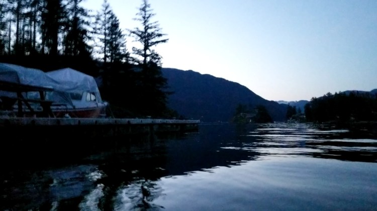
The picture below is from the starting line at the dock looking towards Admiralty Point in Port Moody.

Here comes a nice little roller to keep the paddle interesting en route to Admiralty Point.
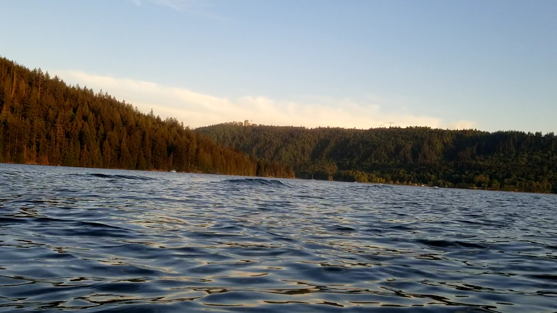
The waves getting a little bit closer.
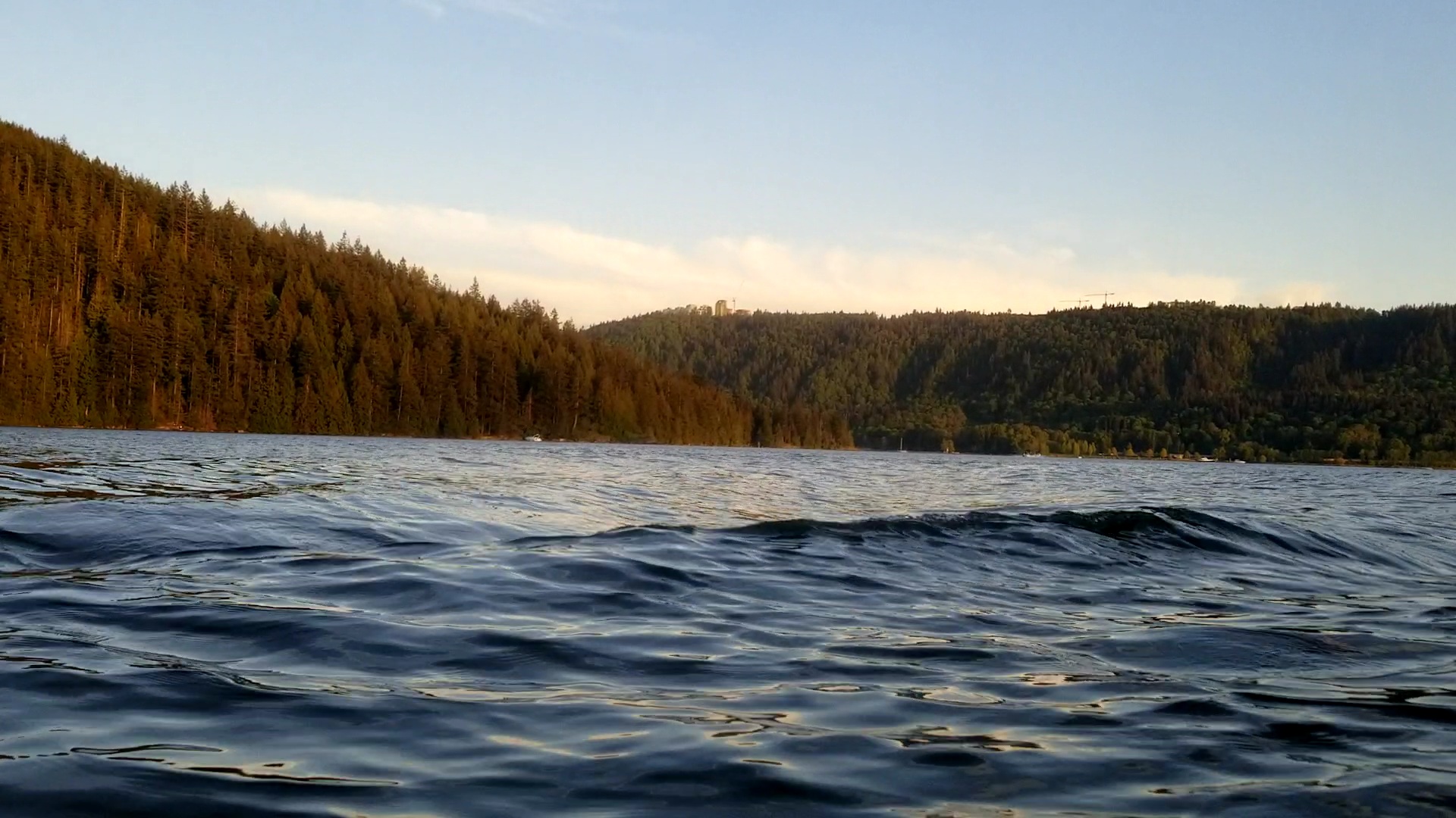
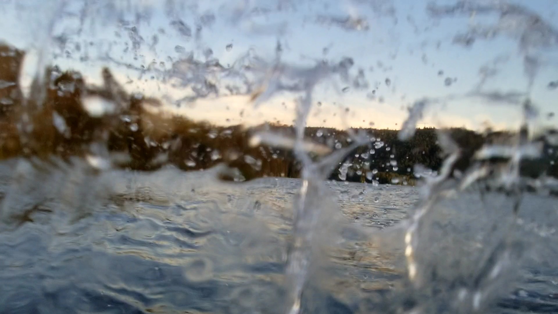
And she arrives!
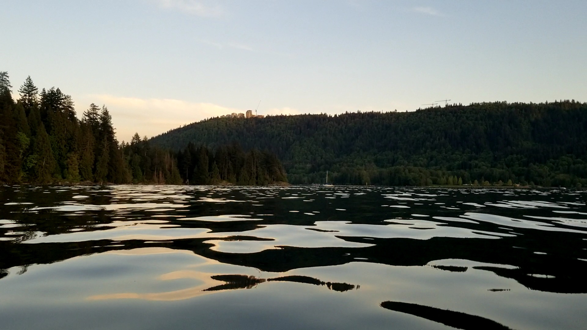
The water became calm again as I approached Belcarra. There were several boats positioned at the mouth of the fjord looking westward out of the inlet for the sunset. Unfortunately, I was heading southeast. Time to move so that maybe I would be able to catch the sunset on the second half of the paddle.
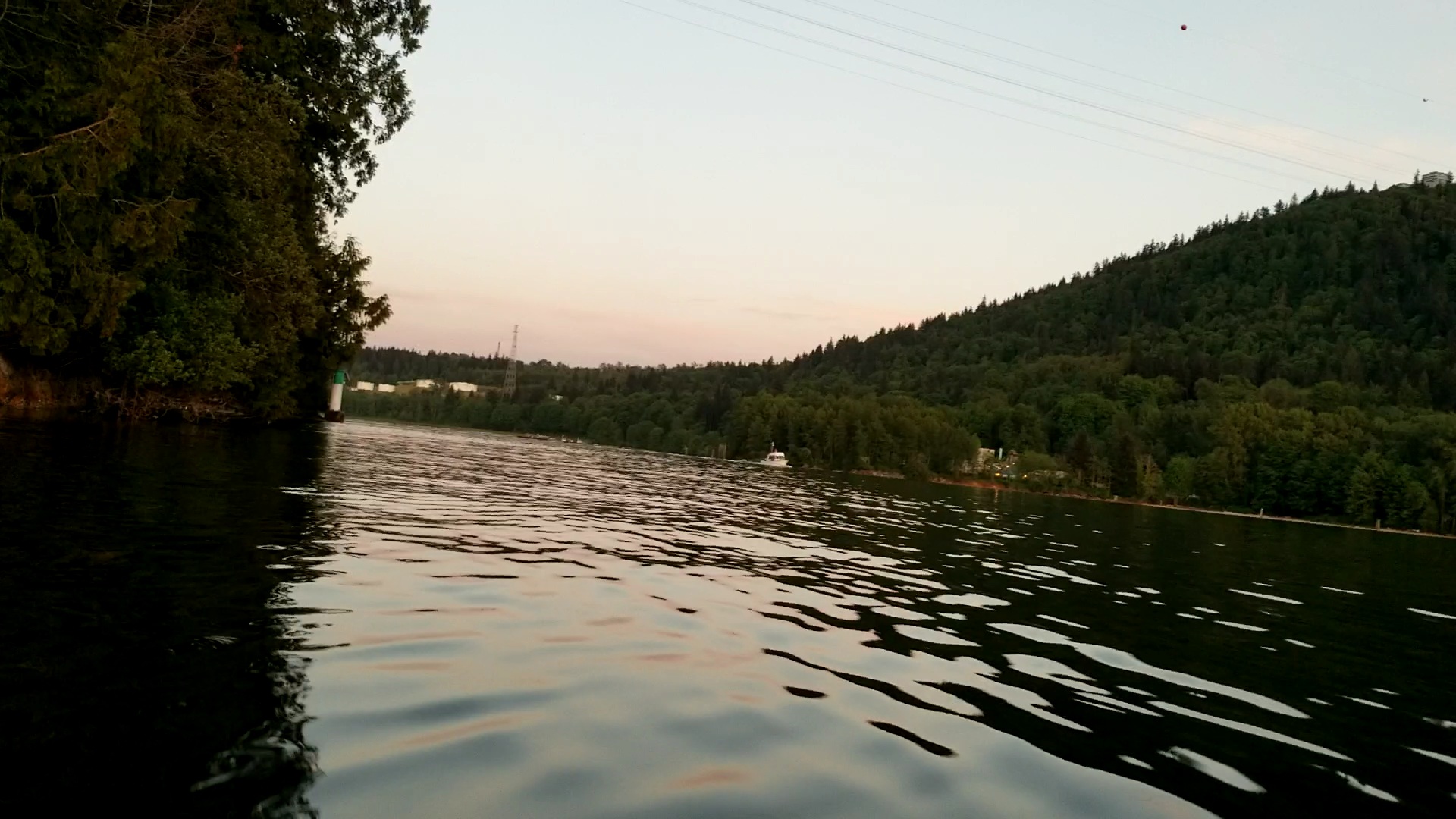
The image below shows Admiralty Point. This was my first time paddling beyond the point so I was curious what I would find.

East of the point is a small bay that lies between Admiralty Point and Burns Point. Below the photograph shows Burns Point in the distance with Burnaby Mountain in the background. You can see some of the buildings from Simon Fraser University (SFU) along the skyline.

As I approached Burns Point I could make out the green and white colourings of a lighthouse. Almost halfway I thought to myself. Man, I was making good time. Or was I? In the back of my mind, I recalled the racecourse description saying the lighthouse was another 3 km beyond the Admiralty Point.
Sure enough, I wasn’t as fast as I hoped. It turned out to be a false positive. Wrong lighthouse. This was the lighthouse at Burns Point.

But soon enough I would pass by some docks with greeting signs for Caraholly (or Carraholly). And then there was the lighthouse at Caraholly Point in the distance. I approached cautiously as the race description did warn of rocks. The tide was high and everything was fine. I rounded the lighthouse and then set my sights on the setting sun to the west.

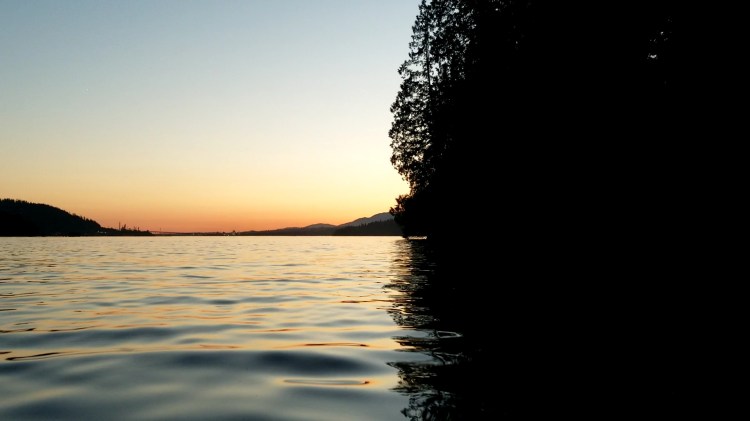
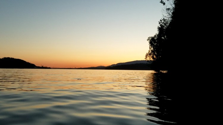
It was a nice change of lighting to be heading to the west into the sunset.

There were some amazing silhouetted views with the tree line and reflections on the water.

Here are a few more pictures of the silhouetted sunset view. It doesn’t get old in my opinion. It is the mundane turned spectacular. Mundane in the “of or relating to this world or earth as contrasted with heaven” sense rather than the “banal” or “unimaginative” sense.
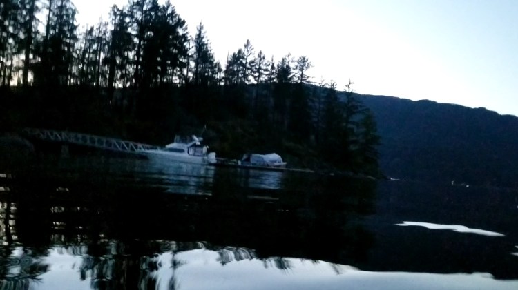
Now it was a race against the sun. I had packed my headlamp with me in my waist pack. But at this point, I didn’t want to stop to have to get it out. I was able to make out all the watercraft so the visibility was still good. Nonetheless, I kept a constant scan for boat traffic in all directions. I would make it to Boulder Island and then get my headlamp out for the paddle back to Lowry Waterfront Park. Below is the image of my mystery bay.

I was now around Admiralty Point and it was a straight shot to Boulder Island.

I made it back to Boulder Island in the waning moments of the twilight.
The image below gives a better representation of what the lighting was like. It was twilight but there was still good visibility for a few more minutes.
Below is my route from Google Fit.

And my statistics from Google Fit are below.

And here are this week’s results. There is a new kid in town and I am no longer the Schwarzeneggerian wolf at the top of the hill. A hungrier wolf from the bottom climbed up and took my meal. 😛
And if you made it this far, you may be interested in checking out some of the video footage in the timelapse montage below.

3 thoughts on “vTNR#6: Carraholly Point”