Sunday, June 13, 12021 HE
It is week ten of the virtual Tuesday Night Race (vTNR) series being put on by Coast Outdoors through Deep Cove Kayak. Here is a general overview of the event. This week had a live course again on Tuesday night, but I was not able to make it. Fortunately, they are still running the event virtually.
Here are the links to my past posts on the vTNR series: vTNR#1, vTNR#2, vTNR#3, vTNR#4, vTNR#5, vTNR#6, vTNR#7, vTNR#8, and vTNR#9.
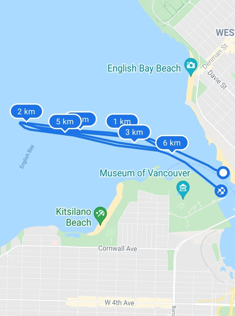
And this is the link to the virtual course this week on webscorer. The local course this week starts from Vanier Park and is in English Bay, rather than Indian Arm. The image below is the route. The blue course is the local long route and the red route is the local short course. It looks like the course is a recycled route from the Big Chop Summer Paddle Series.

I was joined by Peter and Wil this week. We launched from the Burrard Civic Marina as Wil moors his boat there. It was nice to have a little covered area as we got our kit in order as the weather was less than stellar. Just a bit of a contrast from yesterday but not unexpected.
We made our way across False Creek to Sunset Beach to get in line with the flag post at Vanier Park for the start line.

And then we were off into salty skies aiming toward the red buoy marking the entrance to False Creek. I tried to put some of the stroke skills from my paddle lesson into play. It was tough to do all of them at once but I did feel like I could focus on one or two at a time.

The first leg of the course was into a light headwind. It was an easy corner past the red buoy and then a straight shot to the sand barge. After we finished the paddle there was some contention from my racemates that I may have missed the second pass around the red buoy. I have included the video footage to quell the questioning. Below is the footage of the first pass of the red buoy.
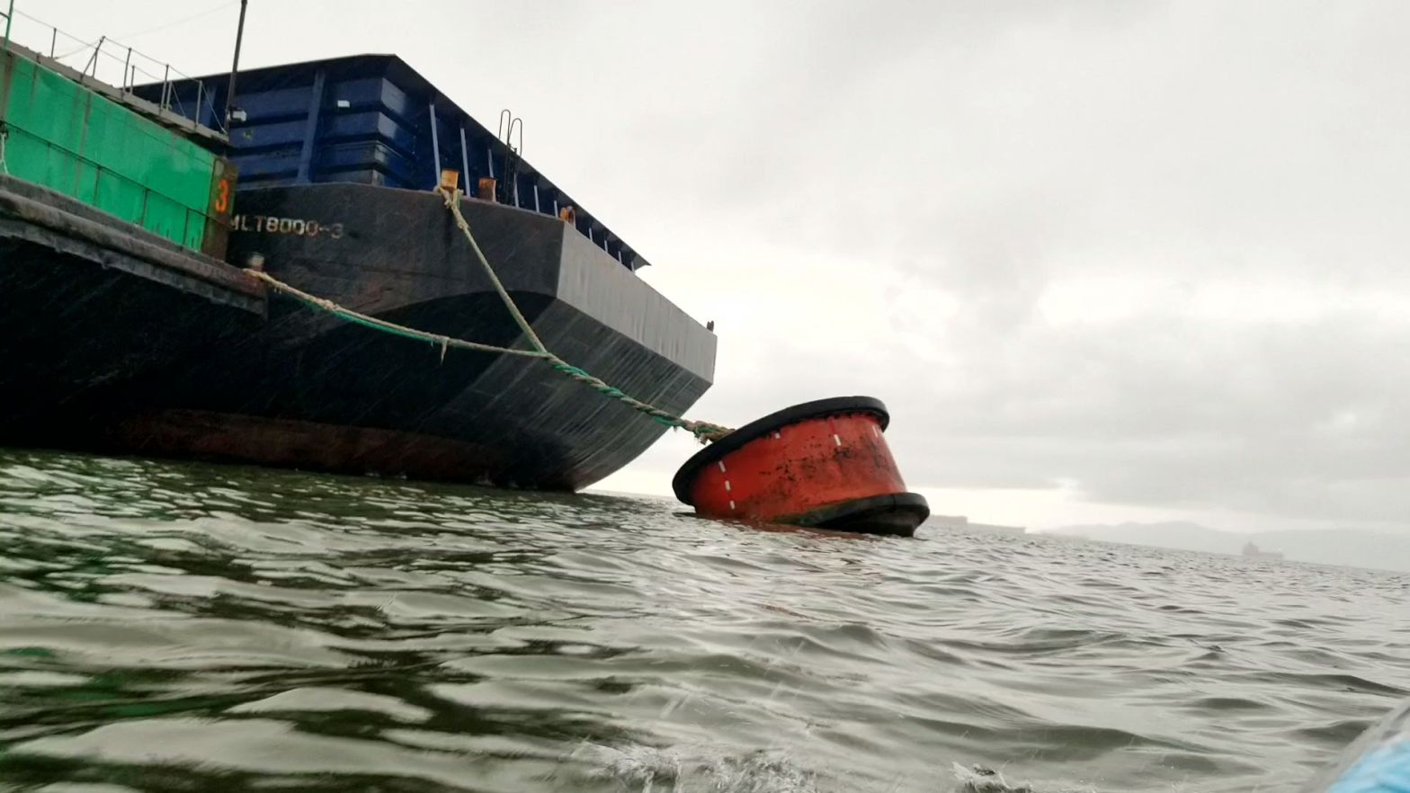
There were two barges anchored to the sand barge buoy and as I approached I wondered if I would need to round them both? Or would I be able to make it in-between the buoy and the barges? As I got closer I could see that I would have a space to pass. The photo below shows the gap but my camera lens had just been waved so the image is smudged.

And here is a short clip of me rounding the buoy. Again, with the same water smudge as the photo above.
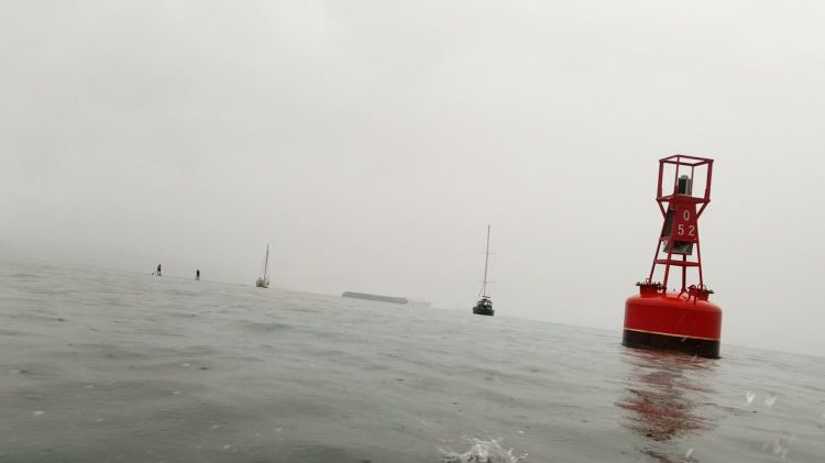
As I made the corner and started to head back in toward False Creek the light rains change into more of a deluge. I could barely see where I was heading and I initially struggled to get a bearing on the white speed marker buoy.

Eventually, I got sight of the buoy and made my way toward it. As I paddled toward it I was contemplating the racecourse in my head. Was it a turn around the white buoy then straight to the sand barge again? Or did I need to round the red buoy again first? From memory the course map was more of an ovular shape and that coupled with the fact that the red buoy was slightly further out to sea than the white one made me conclude that I must round both. Ironically, this would be the very thing that Peter and Wil would question me on at the end of the paddle. They weren’t sure that I had made the second lap around the red buoy. Neither was I when they questioned me. I was pretty sure that I did, but not 100% sure.

I made a pivot turn around the buoy and then according to the video footage I made my way over to the red can next.
Almost there.
Yup, I for sure made the second pass around the red buoy. But I cut it nice and close.
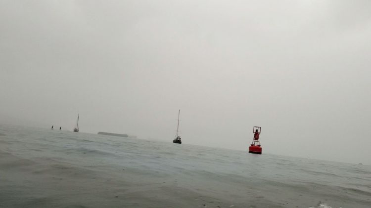
Then it was the straight shot to the barge buoy again. The rain had let up.
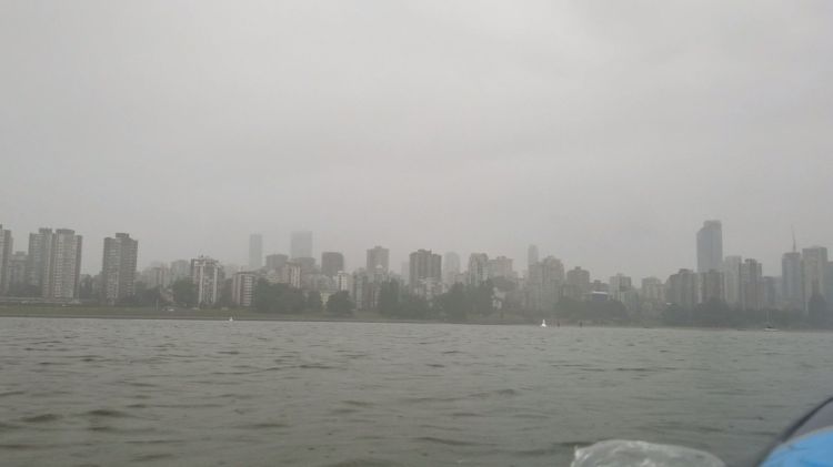
The weather doesn’t look too bad in the photo below.

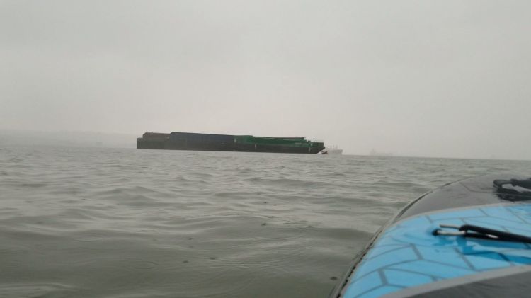
You can see that the current and wind has shifted as the barges were now more westward. Below is a much clearer view of the barges.

But it was still definitely raining at this point as per the video below.
And then it was back to the white can and then to the Vanier Park public boat ramp for the finish line of the race.
Though on reflection of the racecourse and my route here I was in error. I passed the white buoy on the right side, but the course map shows the route going to the left of the speed marker. I am going to blame this on my audience distraction. 😉

As the three of us made our way into False Creek several kayakers and dragon boaters were getting ready to head out on the water. We weren’t the only wet weather water people.

Below is my route recorded with Google Fit. You can see where I am too far south at around the 6 km mark to make the proper turn.
And my statistics from Google Fit are below.

And here is the link for this week’s vTNR results. Thankfully, I was the only male SUPer in the under 12-foot category so I don’t feel too bad about my would-be DSQ finish.

One thought on “vTNR#10: Big Chop Sand Barge Simulation”