Wednesday, March 23, 12022 HE
It’s spring break for my eldest son, Elijah, and we decided to keep his younger brother, Kieran, home with him as my wife, Annie, and I took some time off. This week we’re off together for a few days. So, Annie planned a stay at the Harrison Hot Springs Resort. We’ve been to Harrison Lake before but never stayed at the hot springs. According to the Native-Land.ca website, the southern portion of Harrison Lake is the ancestral land of the Coast Salish and S’ólh Téméxw (Stó:lō) peoples. And the Halq’émeylem word for boiling water or hot water, referring to the hot spring, is “Qwólts.” Recently a new park was opened in the area, called Qwólts Park, paying tribute to this history.
When my brother-in-law and his family visited last fall, they stayed a couple of nights at the Harrison Hot Springs Resort. Based on their raving review, we planned a stay over spring break. The boys had swimming lessons last week, so we were keen to get them to put their new skills to the test in the warm pools. We weren’t disappointed. Elijah had gotten his love for underwater submersion in Hawaii several years ago in a warm pool. We haven’t had the chance to do the same thing at the same age for Kieran. Thank you, pandemic.
But, it turns out the PeeJek (Peeters-Jekyll) kids get their scuba feet in warm water. Both, but Kieran in particular, just needed the right conditions to rekindle his love of water. We were so impressed with how much improvement they made! Kieran went from being reluctant to submerge his face on the first day of his lesson. To full-on teaching us, his parents, a swimming lesson and doing fully-face submerged rocket ships of his own accord! And, Elijah can now confidently swim independently over short to medium distances! So we were super happy to have just some family play in the pool, even though they did most of the things they had been working on in their lessons.
But I digress, now on to the stand up paddling (SUP).
I am currently in the middle of my Project Paddle. Project Paddle is my attempt to circumnavigate some select lakes in the Vancouver area by SUP. You can read about the backstory and relevant details here. And here are the stories of the lakes I have already completed: Day 1 (Burnaby Lake), Day 2 (Deer Lake), Day 3 (Səl̓ilw̓ət (Indian Arm) to Sasamat Lake), and Day 4 (‘Triple Crown’: Brohm Lake, Cat Lake, and Browning Lake). You can see the remaining lakes I plan to circumnavigate here. Funnily, Harrison Lake is on my list. But I plan to do it as the culmination of the project since it is massive and will be a multi-day expedition. Nonetheless, I was keen to do some reconnaissance during our stay.
I was expecting to simply SUP around the south end of the lake or do an out and back along one of the shorelines. But after settling into our hotel suite and checking out our lakeside view, an idea came to mind. I could see the island residing at the southern end of the lake. It didn’t look that far. Later, when I had a free moment, I checked Google Maps to estimate the distance to “Echo Island.” It was just under four kilometres to the southern tip of the island. Eight kilometres round trip, I thought. Definitely, doable. But did I want to do eight kilometres of open water lake paddling? No. Plus, circumnavigating Echo Island from Harrison Hot Springs would be around 20 km. Again, doable, but a significant commitment to take away from a family vacation.
I searched the map and saw that I could almost half the crossing distance by launching from the eastern lakeshore. And Green Point Day Use Area even came up as a recommended kayak launch spot to cross to Echo Island. From here, the total trip would be under 15 km. That was a timeframe I felt I could sacrifice, especially, if I departed early. I just needed to get a green light from upper management first. Thankfully, Annie was happy to oblige.
I took note of the low water levels. They were the lowest I have ever seen. Granting it is a biased sampling. I knew Pitt Lake was tidal, but I couldn’t recall if I had read the same regarding Harrison Lake. I did recollect ample warnings of the notoriously cold water temperature and that there had been several deaths on the lake in recent times. I would be sure to dress warmly. The interweb informed me that Harrison Lake is not tidal, but rather it was the seasonal water levels.
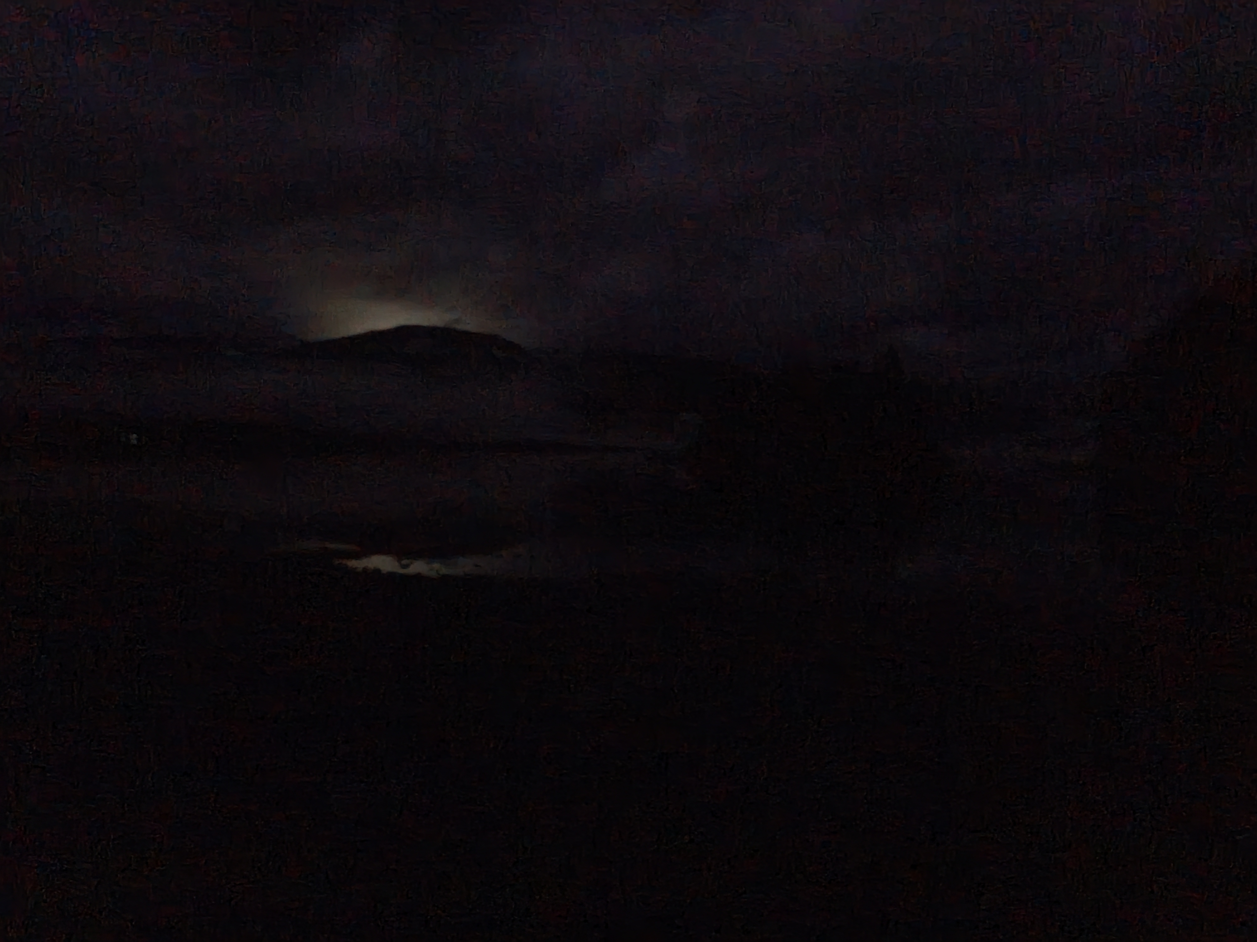
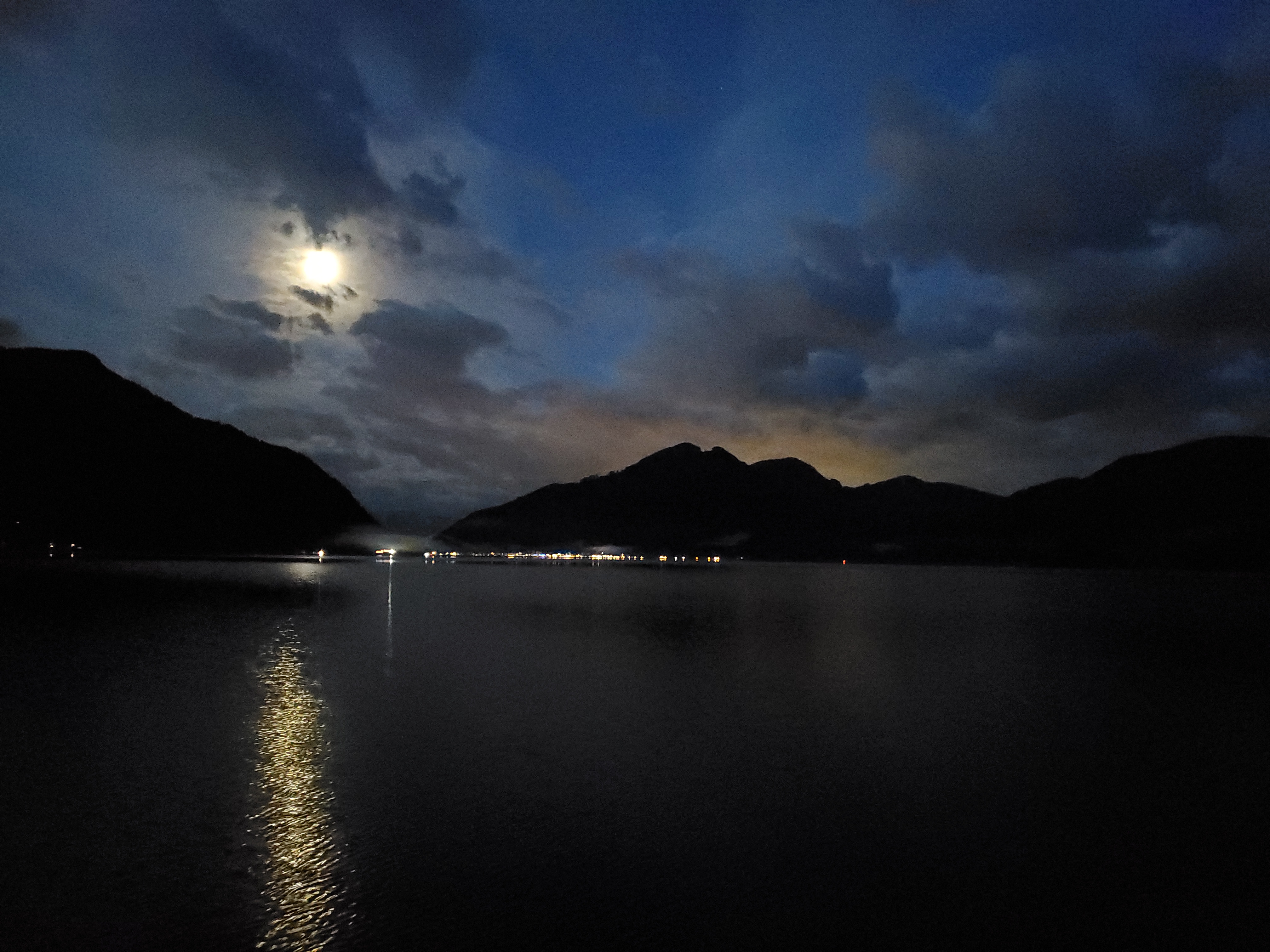
I was up early in the morning and made my way over to Green Point in the astronomical twilight. After parking in the dark, I made my way down to the lakeshore. I used my headlamp to investigate my launch site. The shoreline is rocky. But, aside from the shallow waters, it looked good. It’s hard to see, but below is the view from the water’s edge under the moonlight.
I got my kit in order under the partially cloud occluded moonlight. Then it was time to launch. It was just before 0600.

It was dark on the water. It took me a moment to get my bearings and sight a light on Echo Island to paddle toward. I tried paddling with my headlamp on, but the white light setting reduced my visibility as my eyes were having a tough time accommodating between the darkness of the background and my arms and paddle fully lit in the foreground. I changed to the green light setting, which I find better for night paddling. It was better, but then my headlamp started to flash. Thinking that I had accidentally changed to a flashing setting, I changed it back to continuous. It changed back to flashing automatically. And then I realized that the batteries were low! I had used my headlamp a lot on my SUPortage to Sasamat Lake. I reassessed the situation. There was enough moonlight for me to navigate safely without my lamp. The question was whether I would be visible to someone else on the water? But, there was no one on the water, and with clear visibility (i.e., no fog or obstructed views) and nearly complete quiet, I would see or hear anyone coming and could quickly turn on my light. This way, I could conserve my battery in case I needed it. It is technically illegal to be on the water in the twilight without a light. I figured this was a safe exception (as I write this, I am making a note for myself to replace my headlamp batteries, so I don’t end up on the water in a similar situation).
The water was pancake flat. And in the moonlight, the scenery was surreal. I took several photos, but my camera phone at night from a SUP, and despite using the night mode setting, couldn’t do justice to the awesomeness of reality.

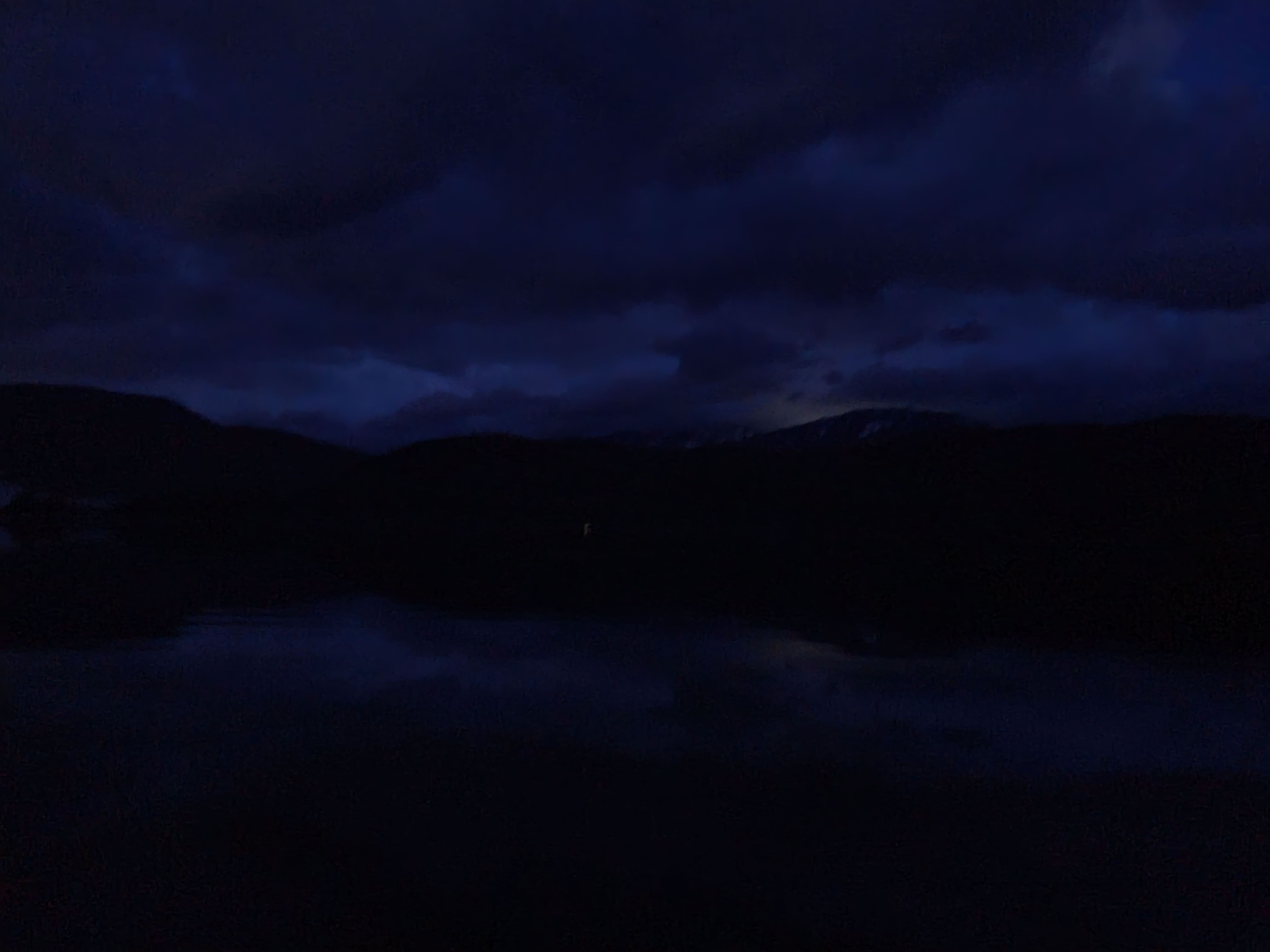
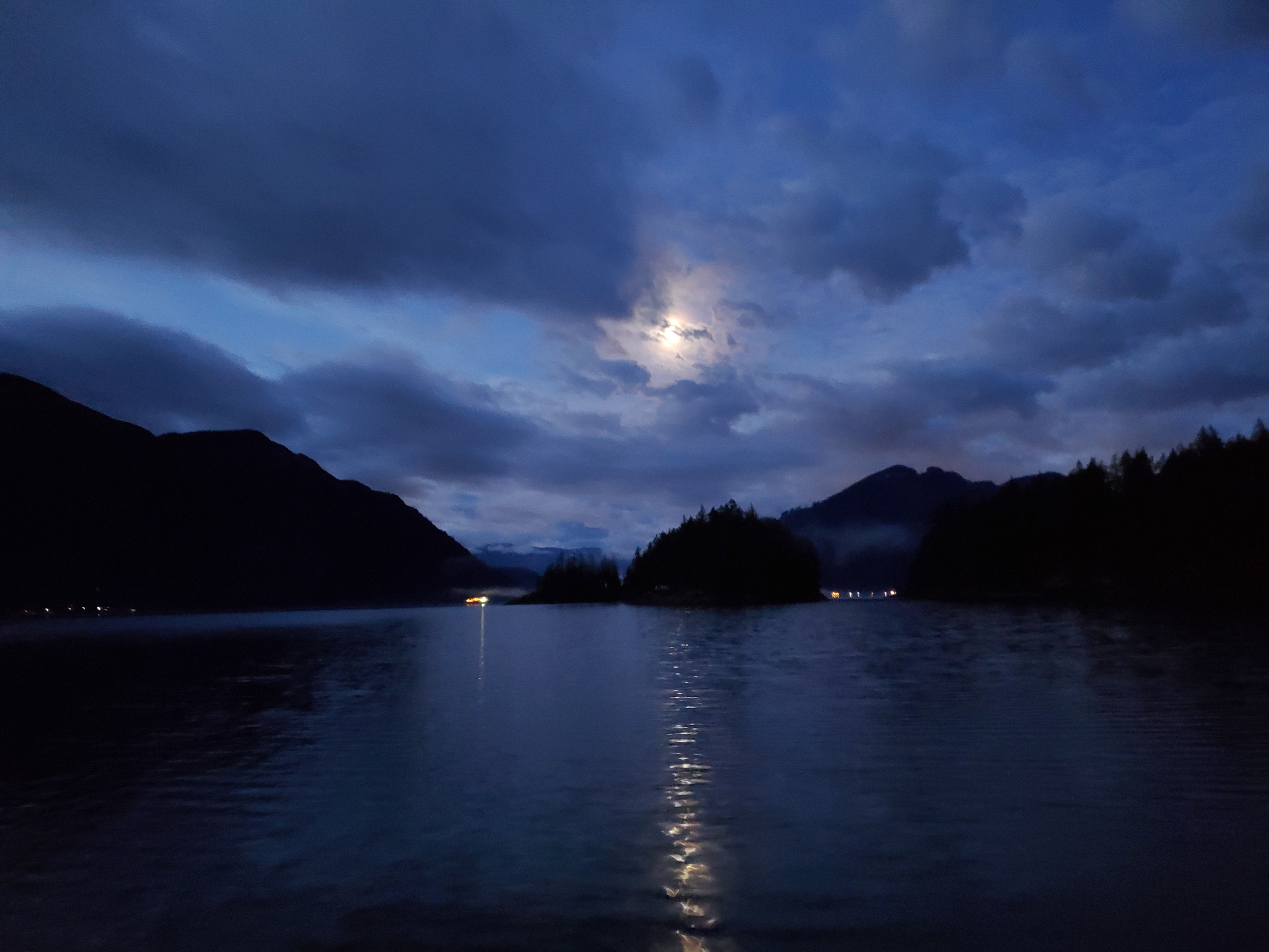
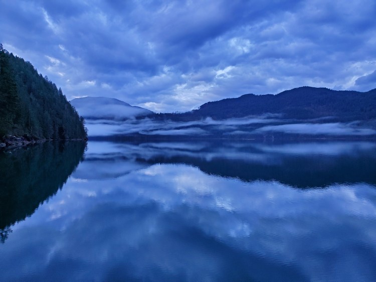
As I made my way further into the channel, Trout Lake Creek, the water became more textured with current and wind. The wind was southeasterly, as predicted. So, I planned to circumnavigate the island in a counter-clockwise direction. The image below shows the water getting more textured in the moonlight, and the lights of urban civilization (i.e., Chilliwack) are seen over Mount Agassiz.
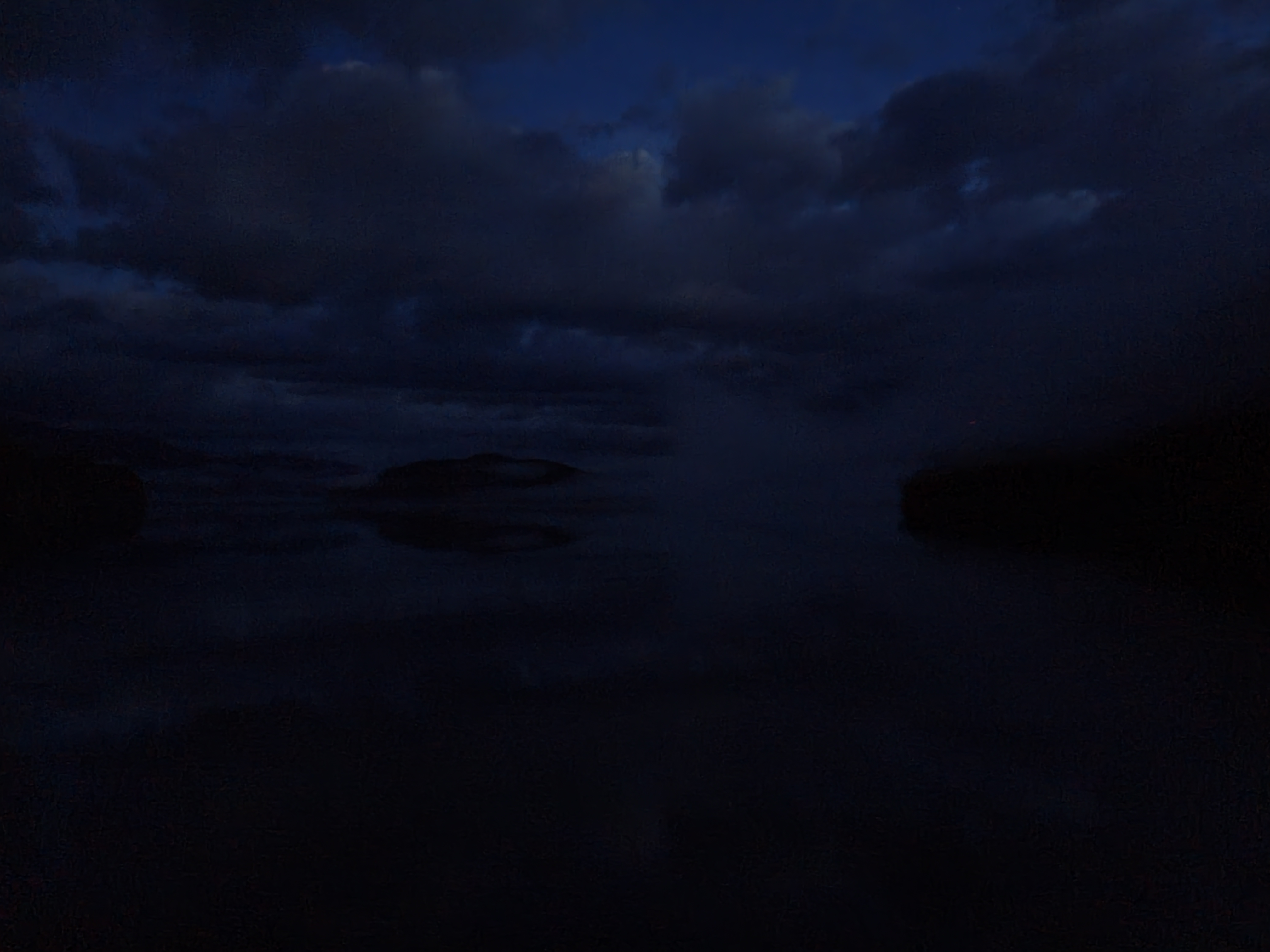
A bit further into the channel and the view changed. The cloud cover was changing, and now Marguerite and Camile Island were occluding the lights of Harrison Hot Springs.
Below is an interesting historic fact I found out about Marguerite Island while getting coffee at Miss Margaret’s Cafe inside the Harrison Hot Springs Resort the following day. Marguerite Island, named after Miss Margaret, the original hotel manager of the hot springs hotel.

The image below is the view eastward from the eastern side of Echo Island.

Initially, there was a light northerly wind as I started the northern portion of my paddle. I worried that the wind would get stronger and that I was doing my circumnavigation in the wrong direction. But the waters and wind would soon become waveless and windless.
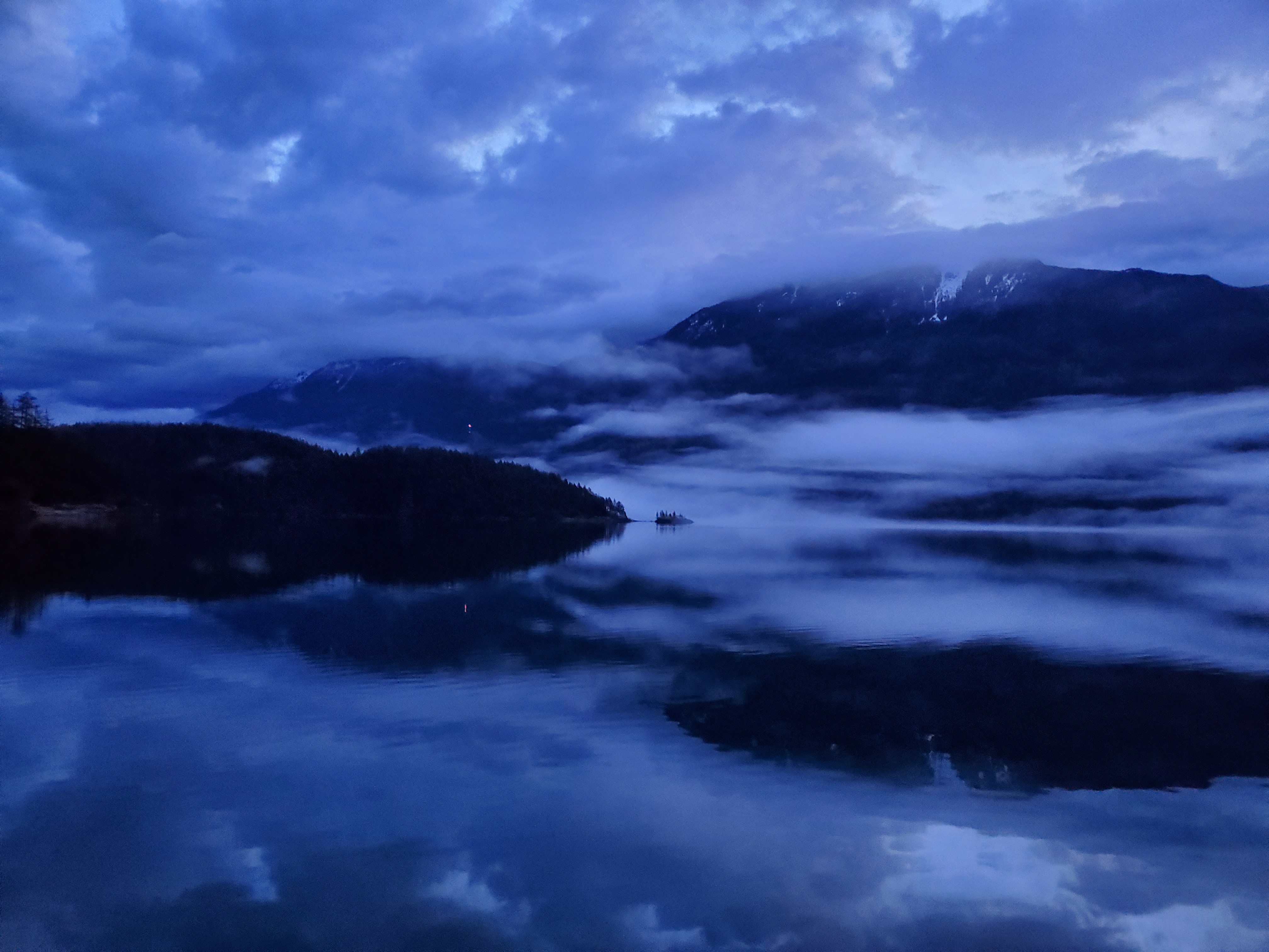
As civil twilight broke, the scenery became even more spectacular. The image below is of the hazily silhouetted Cascade Peninsula and Lone Tree Island.

The lighting and view only got better as I approached the peninsula and island. At the time, I didn’t realize I was heading toward a separate landmass. I mistook Cascade Peninsula as the northern end of Echo Island. Despite how beautiful everything was, I was happy I was mistaken as it considerably cut the distance down that I believed to be remaining.
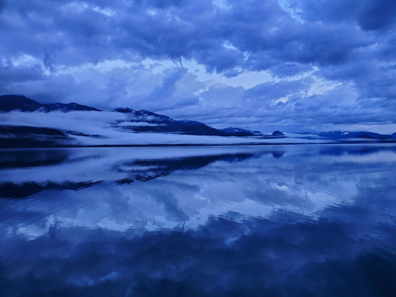
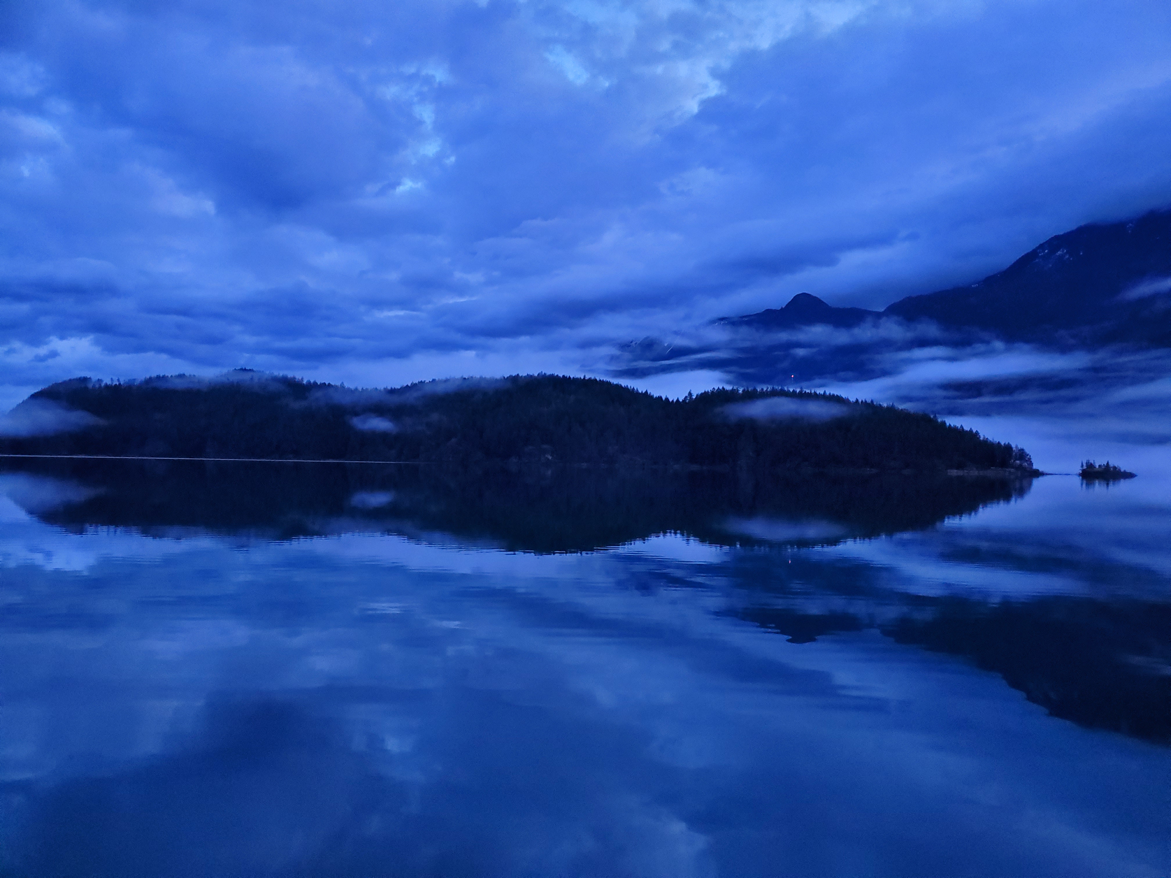
Along the northeastern side of Echo Island, the water remained glass flat, and the view north up Harrison Lake remained spectacular. The cloud cover and blue and green hues and tones looked magnificent to me. I wonder if everyone would find these scenes as awe-inspiring as I did. Would other animals find beauty, reverence, or astonishment in the spectacle of nature?

The beauty of nature was on full display for me through this next section. Here I think the images actually do some justice to reality, at least at the visual level. In reality, all my senses were stimulated, sight, sound, smell, touch, taste, and proprioception. Not only could I smell the air, but there was a clean taste to it as I filled my lungs with each breath. That and I had the dry cotton mouth-like taste that comes with exercise. All of these were the experience of being in the moment.
Below is the view further into the channel between Echo Island (left) and Cascade Peninsula (right). Just to the left of the centre of the image is a small peak. I believe this is Hale Peak.

Making my way closer to the northern tip of Echo Island, I could see across to the western shore of Harrison Lake. Looking at Google Maps, I can see that this is near the Hemlock Valley and Chehalis First Nation or Sts’ailes peoples. I also noticed that this is the location of Sasquatch Mountain Resort that has come up in multiple recent ski conversations.

Long Island was now visible. The size of Harrison Lake came into a more realistic perspective. The lake is massive, and circumnavigating it in the future will be a challenge. My plan at present is to do it over four huge paddling days. Its circumference is just under 205 km. Therefore it would be four 50+ km days. The challenge is, I think I would prefer to do it in the summer, but that also adds the challenge for sun exposure and wind. I know that my experience on this calm and pristine morning is not the norm.

At the northern tip of Echo Island, there is a cottage that is eponymously named “The Long View.” The inhabitants get a spectacular view. I didn’t see any signs of anyone staying there this morning.


I couldn’t get over how amazing a morning I was having. And because I kept thinking that in my head, the song “Amazing” featuring Young Jeezy by Ye (i.e., Kanye West) came into my mind. Along with this promotional video (below) for the Vancouver Metro Basketball League featuring a young and mustachioed yours truly (it was Movember!). My mind wandered to basketball. It felt like another lifetime. My teammates. The thrill of competition. I recalled that the league founder and my teammate, Mark Starkey, also was part of a cancer fundraising event called “Kayak for a Cure.” I wonder if he’s still kayaking? I should reach out to Starkey?
So amazing!
I paddled on. There was no one out on the water. I had the lake to myself. Apart from a few ducks, geese, and crows, there was no sign of complex life. In the distance, I could see a white line across the water (see below). What was it? It looked like whitewash from a wave. But the water was flat. Was it cloud or mist? Driftwood?
Moments later, I received my answer. I could hear noise in the distance, honking, and then my whitewater, misty, driftwood started to move. I could hear the wings flapping on the water. It was a flock of geese (I think) with the whites of their plumage the only thing not camouflage on the water. I debated scrambling for my camera but then decided to enjoy the moment. The birds lift from the water in unison, and their wings stopped clapping the water. They simultaneously spread apart from one another into formation. Was that a called command or an emergent phenomenon of the flock?
So amazing.
The water texture changed again near Echo Bay. I received some light southerly wind at the westernmost aspect of the island. There were several sections of rockslides that I passed. I wonder what the process was for them? And were they completely natural phenomena? Some of the fallen boulders look so symmetrically structured.
I read after my paddle that Echo Island received its namesake for the “sensational echo on its western flank.” I had wondered if the name was eponymous beforehand. Had I known the location lore ahead of time, I would have tested out my yodeling.
Some of the clouds were beginning to scatter. The Sun’s rays were illuminating their eastern edges.

When I reached the southern end of Echo Island, I text Annie to look out for me. Five kilometres was farther than I had envisioned. I doubted they would be able to spot me easily. I text again that my monocular was in a backpack, should she and the boys be so inclined. As it would turn out, they were all asleep. After a much too early a wake up by the little ones, they had fallen back asleep.

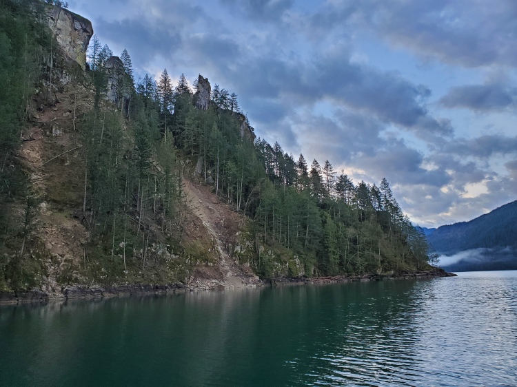
Along the southwestern shores of Echo Island, there were many more cliffs. Depending on the water depth, they could be good spots to cliff jump. Below is an image of a steep face where the rock slab had fractured away.

In the image below, I liked the way three clouds were hovering low in separation over the water.

I cut across the small bay where Elfinlau Waterfront Cabin & Cottage Rental is, noting the colourful dock. Then I reach the small channel between Marguerite and Echo Island. The rock formation is fascinating here. You can see the different slabs of igneous rock, and I wondered how they were lane centuries ago. And then glaciation would have carved out the freshwater fjord. Incredible to consider the geological timescale of the area.

I could see the Cascade Peninsula and Lone Tree Island through the channel. This time in full daylight.

I turned east to make the crossing back to Green Point.

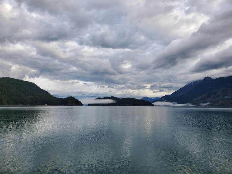
Below is the daylit view of Harrison Hot Springs from Trout Lake Creek. Crowhurst Bay is on the left, and Camile Island the right.

To the north, this was the view of Cascade Peninsula, couched in low-lying clouds, and the northern end of Echo Island (left).
Below was my attempt to capture all of Echo Island from close to Green Point. I wasn’t able to capture the southern end of the island.

Heading back to my vehicle, I was met by a pair of loud but friendly dogs who enthusiastically greeted me. It was a bit intense. If I was uncomfortable with dogs, it would have been scary! They approached somewhat aggressively, and when the owner shouted for them to return and they didn’t, I was nervous (i.e., scared) for a moment. I just stood my ground with an outstretched hand for them to smell. Along with some petting. When I was happy they were friendly worked to settle them temporarily. But then they were back to loud barking.
After some brief formalities with the owner, we parted ways. I almost slipped in some mud in the parking lot. It was then that the owner informed me the mud was residual washout sediment from the flooding last November. We talked briefly about the devastation, and he informed me that a mass grave was created near Lillooet for the livestock lost. On our drive up, Kieran was disappointed as there were minimal farm animals to see. We had assumed that it was the season and that perhaps more were indoors than out. But after seeing some fields that still showed the aftermath of the flood’s destruction, we presumed that the lack of animals was simply because they sadly weren’t there. It was disheartening to think. In a more positive spin, however, all the more reason to be grateful for the experience I was able to have.
Below is a recap of my route created on Relive. I recorded my trip with Geo Tracker. If the video below doesn’t work, here is a link to the video on Relive’s site.

I was still thinking about the low water levels after my paddle. I wondered if they were a result of anthropological interventions. Is there a damn on Harrison Lake? Is Harrison Lake tidal like Pitt Lake? Or, we’ve always visited Harrison Hot Springs in the summer. Could the low water levels be the season change with snowmelt off? A quick search enabled me to rule out the first two options. And the hydrometric data from the Government of Canada website revealed that we were at the seasonal low before the spring melt-off (to view the graph, you may need to accept the terms of liability).
This was quite possibly the most visually spectacular paddle that I have done to date. So here is a slideshow of the images set to Ye’s “Amazing” as a tribute to my thought in the morning.

Great adventure. Call me next time you’re in HHS and I’ll fill in the gaps in the lake’s history.
LikeLike
I’m sure it is a storied one!
LikeLike