
Saturday, March 5, 12022 HE
Day three of Project Paddle took on a bit of a different form. Project Paddle is my attempt to circumnavigate some select lakes in the Vancouver area. You can read about the backstory and relevant details here.
It was time to attempt Sasamat Lake with Day 1 (Burnaby Lake) and Day 2 (Deer Lake) already checked off my list. So far, I have been completing them in the order that I originally listed them.
The back story on Sasamat Lake is as follows. Several months ago, my brother and I were discussing potential paddle plans. While looking at a map, he wondered if the waterway, Windermere Creek, connecting Sasamat Lake to Səl̓ilw̓ət (Indian Arm) was navigable by Stand Up Paddleboard (SUP). It was a possibility I had not considered until then. Thinking back to our adventure up the Brunette River, I suspected it would be a lot of portaging, if at all possible. My cartographic lessons from the Serpentine River Circuit and trying to launch from Kwomais Park have taught me to check the Google Maps satellite and terrain view, respectively. And not just rely on the default map view. I have also learned to check the street view when available. Although, the street view is limited to public areas and roads/areas imaged with a 3D camera. I also check Google Earth because you can toggle through with a 3D virtual view to get a general sense of the geography.
After a quick scan of the various maps (default, satellite, terrain, virtual), I concluded the waterway would not be navigable. But an idea was left percolating…
When Sasamat Lake later made my Project Paddle list, the idea came back to fruition. After re-examining the distances and roads between Səl̓ilw̓ət (Indian Arm) and Sasamat Lake, I thought a portage was possible. My remaining question was whether there were walking paths through the residential area. If not, I would need to take the long route via the roadways. The longer way wasn’t an insurmountable barrier, but it could double my portage distance.
I planned to land around here, as it looked like I would be able to scramble up the shoreline to Marine Avenue. On Friday, I called the Sasamat Outdoor Centre to ask about launching from their property. From the satellite view, I could see that they had canoes and kayaks and a dock on-site that would be perfect for a launch. I hoped explaining my plan to cross Səl̓ilw̓ət (Indian Arm) would garner me some goodwill. Perhaps I would be petitioning another paddler. But, as luck would have it, the representative I spoke with informed me that, despite my inquiry being a “common” one, they did not allow public launches from their private facility (I took common to a request to launch from their facility rather than crossing the fjord to launch from their facility). However, he did confirm that there would be okay launch sites off of the lake loop trail south of their property. He also suggested launching from White Pine Beach. But I had already concluded that I was launching after the shortest possible portage.
On Friday, I found this map. It confirmed that there were trails through the residential area. The plan was in motion to embark on my first SUPortage early on Saturday morning. I was leaving early to minimize my time away from family.
Sasamat Lake
Rationale: I have an idea that I will do a paddle across Səl̓ilw̓ət (Indian Arm) and then hike to Sasamat Lake to circumnavigate it before returning home. It’s a lofty plan. The reality may be a drive and paddle.
Location: https://goo.gl/maps/q2xYoqWUcXTvqAWH6
Estimated Travel Distance: 35 km
Estimated Area: 0.43 km²
Estimated Circumference: 3.2 km
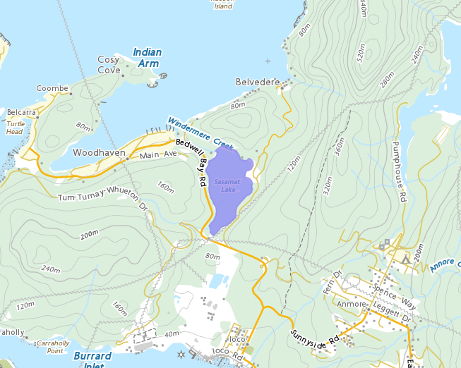
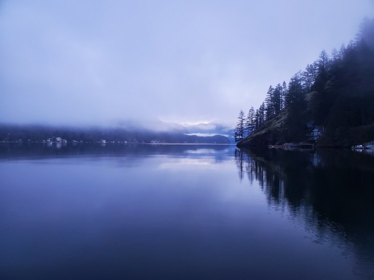
I left from Lowry Waterfront Park in North Vancouver. I anticipated getting a morning view of some celestial bodies visible in the early morning sky. However, the fog gods had a different plan in store. I arrived in the area under socked-in skies. I couldn’t see the water from the parking lot! Should I abort? After some consideration, I decided I would continue on. There would be little to no boat traffic on the water, it would only get lighter, I assumed the fog would burn off in the morning light, I would be wearing a light, and I would be able to hug the shoreline with only a brief crossing of Səl̓ilw̓ət.
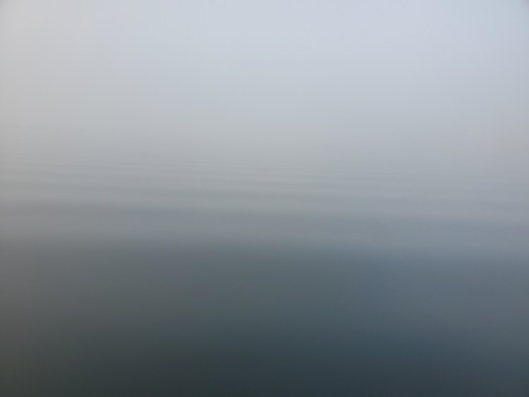
Below is the view from the water’s edge at Lowry Waterfront Park at nautical twilight. I launched just after 0600 after an amazing short night of sleep.
Out on the water in the flat, calm, and fog, it was disorientating. I couldn’t make out Boulder Island across the fjord, so I decided to paddle along the western shoreline using the lights of the homes to guide me to Grey Rocks Island. That was easier said than done. I was disorientated by the small point jutting out near Cove Cliff. It bends out northeastward, and I had mistaken the lights there in the distance as Grey Rocks Island. As I approached, and the shoreline became more visible, I realized the lights off to my right, off in the distance, was Grey Rocks Island. I corrected and paddled on.
Once at Grey Rocks Island, I could not see Hamber Island across the fjord as I had hoped. The fog was too thick. Along the way, I noted the small waves crossing the fjord in a northeast direction. I could use them to help orient me until I could see lights from the homes on the other side. It’s not that far a crossing, but I just wanted to be extra sure. I was caught out in the fog near Spanish Banks in January, and it showed me how unsettling being on the water in thick fog can be. I was happy I was in somewhat familiar waters.
I paused to listen for boat traffic. It was silent. I turned right, aiming towards the direction of the waves, then hammered out across the water. I wanted to be in the channel for as little as possible. I scanned my surroundings, looking out for approaching vessels. But also to shine my headlamp in all directions as a beacon. A light came into view in the fog to the right of where I was heading. It was the Hamber Island Lighthouse. And then I could see the lights from Hamber Island. I entered a lighter patch of fog and could the civil twilight was nearing its end.

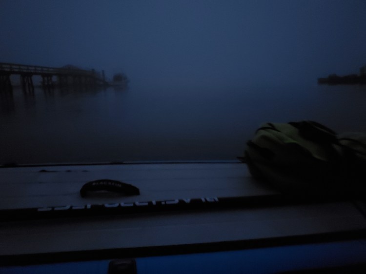
However, the fog rolled back in on my way northward towards Whiskey Cove.
Bikini Island is visible in the picture below, and not much else beyond it. The point at Cosy Cove is essentially invisible.
But after a little more paddling, I broke through the fog. Cosy Cove came into clear view, and I could now see far up Səl̓ilw̓ət (Indian Arm). The waters were flat, but the skies remained blanketed in clouds.
I rounded the Cosy Cove peninsula and passed by Jug Island and Beach. I came across this webpage from Deep Cove Kayak that explains the etymology of Jug Island when researching this paddle route.
When I reached the Bedwell Bay Lighthouse, I double-checked my phone’s GPS to get a visual of my planned landing site. Checking the map confirmed that I was aiming for in-between the two docks that I had already ear-marked in my mind. As I paddled in closer, the shoreline looked as steep as my mind had pictured in my steepest estimate of inclination. Then I spotted a stairwell just to the right of where I was planning to land. That looked promising! However, further up the shoreline, I saw that it was blocked by a gate. My heart sunk for a moment before I noticed a rocky stairway tucked away underneath the tree canopy where I was aiming to land. It looked like my internet sleuthing was going to pay off!
The shore was lined with large boulders, but it was a relatively easy landing. Chalk one up for SUP for the easy dismount. The tide was transitioning from the low of 1.5 metres at 0104 to the high of 4.7 metres at 0729. I landed around 0700. I transitioned my MEC Scully Dry 30 Duffle into a backpack and was pleased with the ease and convenience it provided for my portage. I walked the rock staircase, which transitioned to a gravel ramp. At the top of which I read the signage marking it as an unmaintained recreational trail. A sense of success washed over me. What I anticipated to be a potential challenge, the landing, turned out to be relatively easy!
Once on Marine Avenue, I walked the Watson Trail to Watson Road then turned left onto Bedwell Bay Road. I then merged onto the Sasamat-Woodhaven Connector and eventually the Sasamat Lake Loop Trail.
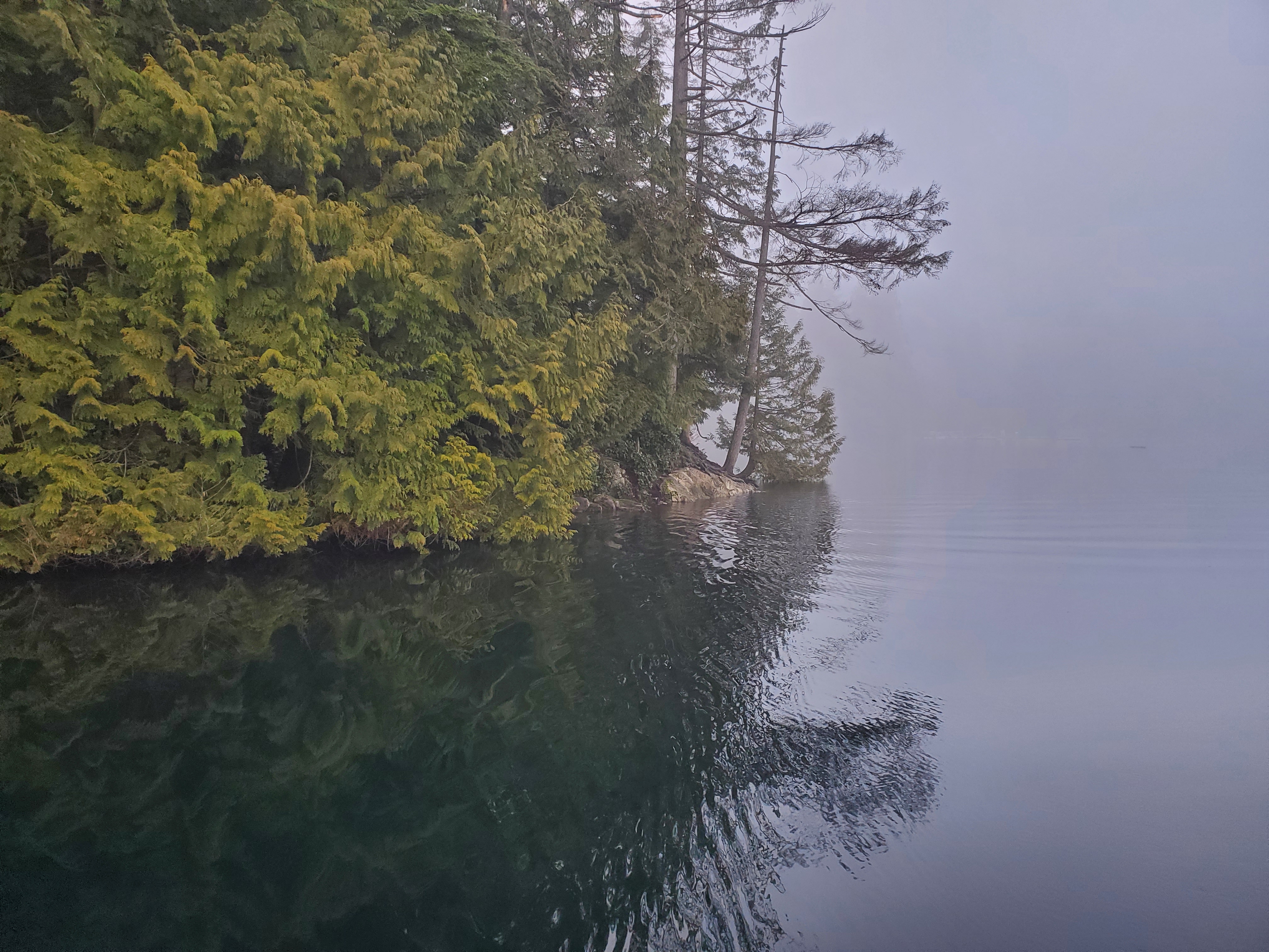
I reached the Sasamat Outdoor Centre property with a brewing excitement. But the property turned out to be bigger than I envisioned. Furthermore, there also was a tall wooden fence surrounding the site. I followed the trail south until the fence ended. There was a relatively accessible launch spot off of a log here. It wasn’t the easiest launch as I had to balance on a log underneath low-hanging branches. I suspect the area is used as a fishing spot as the ground was flat and compressed. Below is the view out onto the lake from underneath the tree canopy of my launch spot.

Once out on the lake, I changed my backpack into duffle bag mode again and secured it to my board. After a brief reprieve from the fog, I was back into it the vapor.

I spied a few more launch spots along the shore that looked like they’d be easier to navigate. Though, they would require a longer portage. The image below is one.
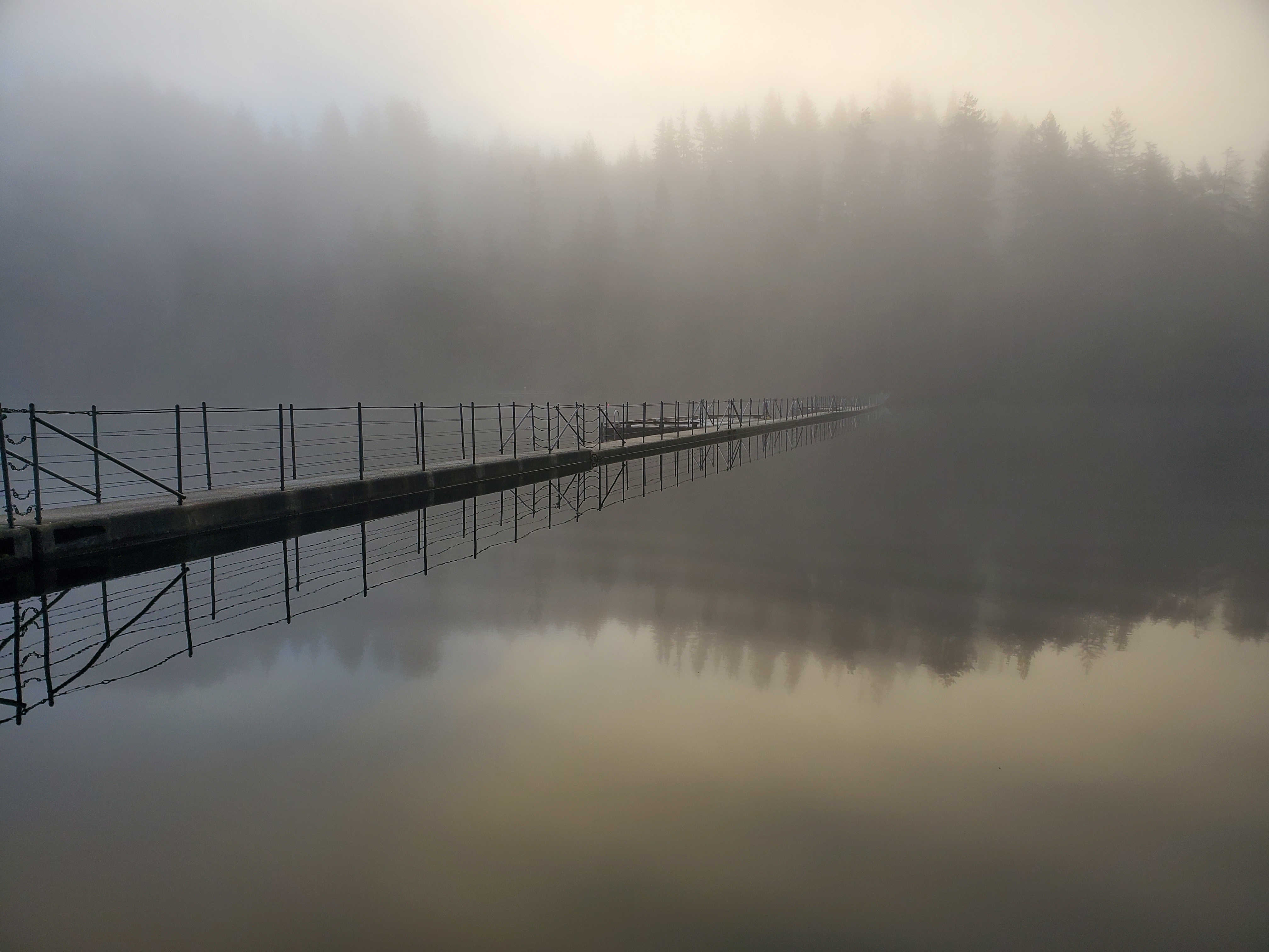
I reached the floating bridge and SUPed underneath the suspended portion closest to the shore. Below is the view from the south side of the bridge.
There were a few runners and walkers out rounding the lake too. And after I crossed back to the north side of the bridge, I passed a fisherman heading towards the bridge. I saw him set up on the bridge as I paddled away.
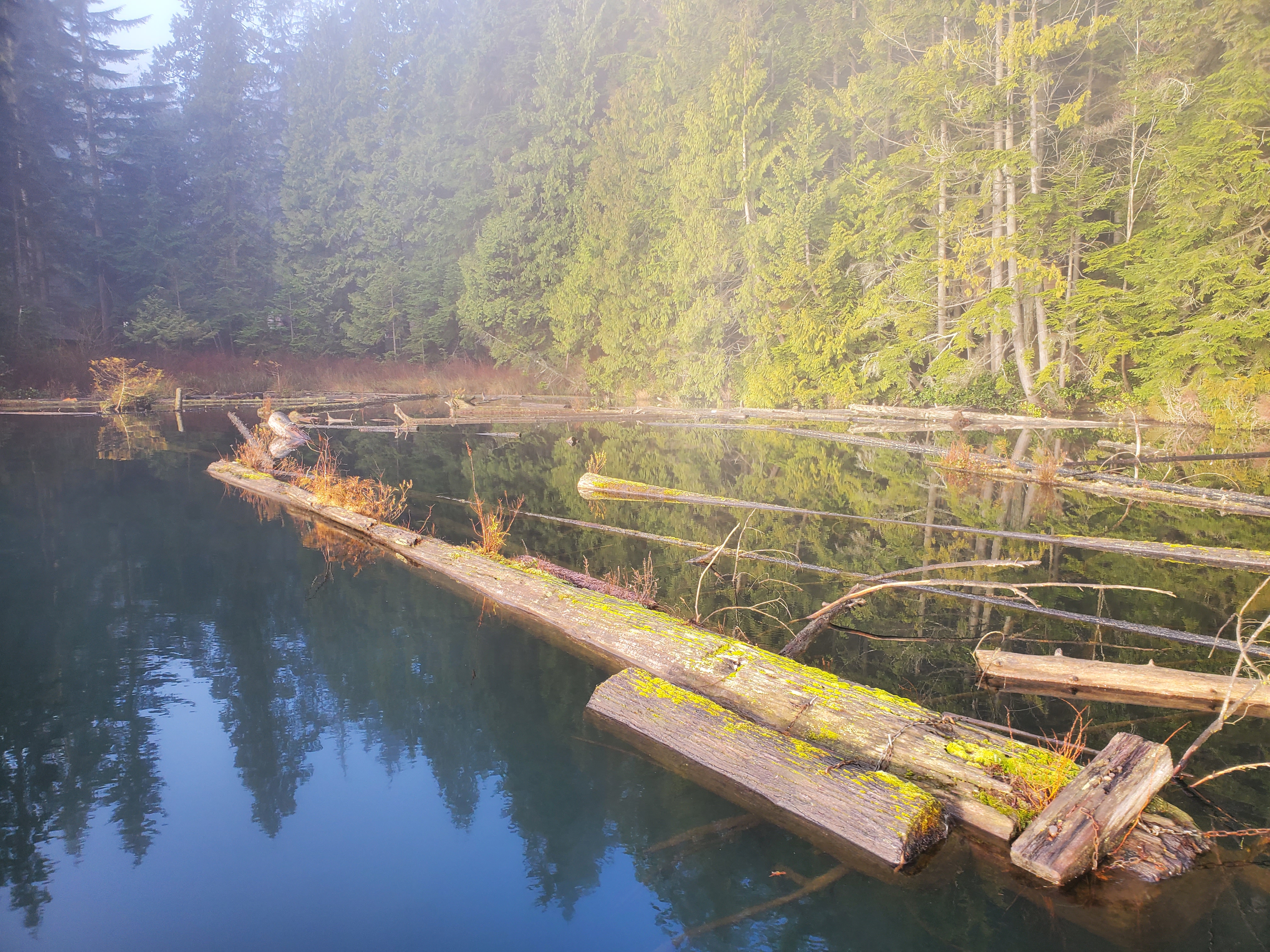
The whole shoreline of the lake, particularly the western shore, is scattered with driftwood and deadheads. I managed to make it over many of the partially submerged ones. Occasionally, my fins got caught, and I had to walk to the nose of my board to clear my fins. The log below was one that I needed to go around.

The image below is just south of White Pine Beach. I encountered another SUPer ready to launch. She was setting out in tennis shoes and did a sort of reverse beach start using her hips to coax her board off the shore without getting her sneakers wet. I did feel a little overdressed for the occasion in my semi-drysuit. It was definitely overkill for the lake, but I wasn’t about to set off across Səl̓ilw̓ət (Indian Arm) pre-dawn without it.
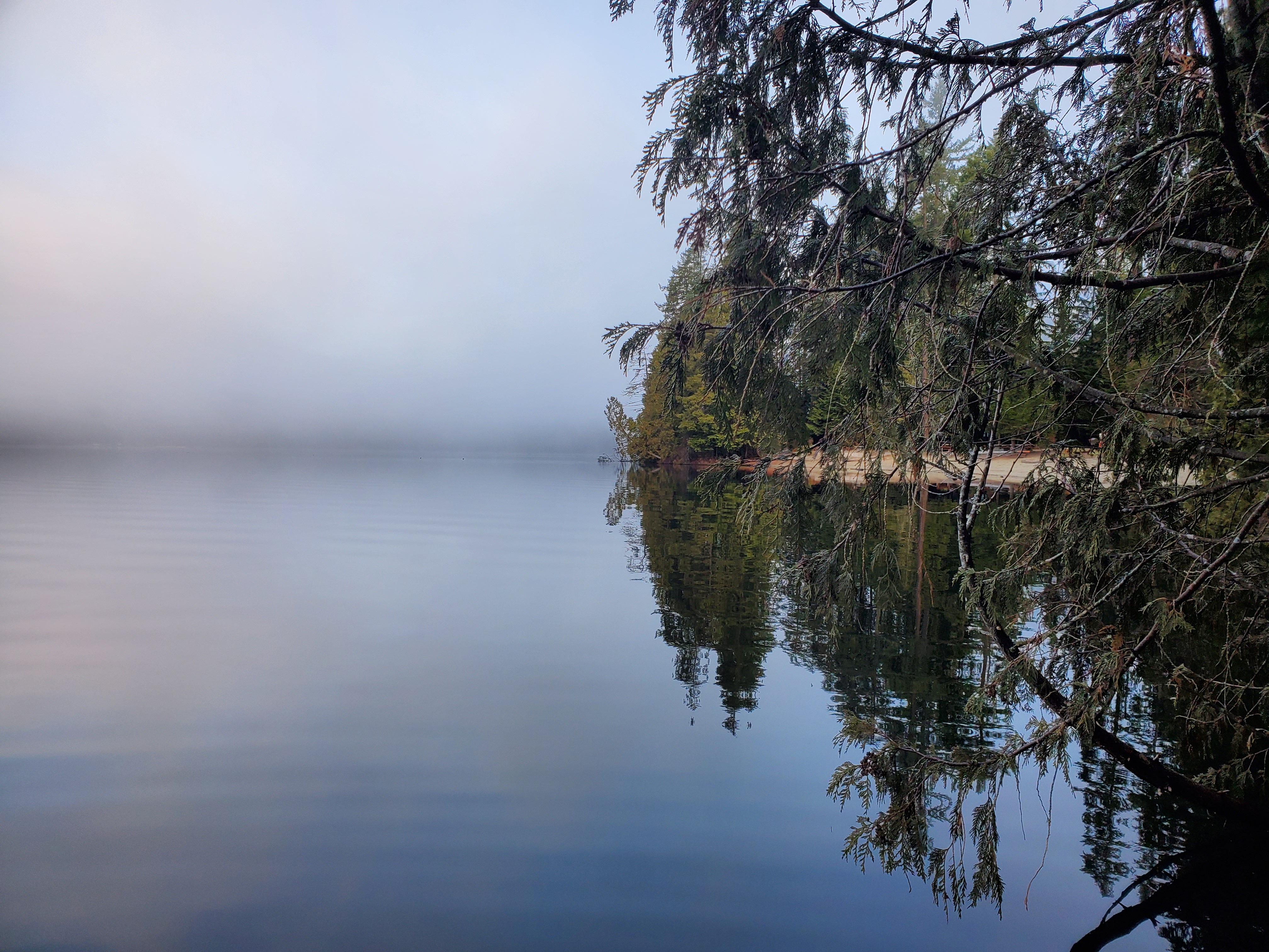
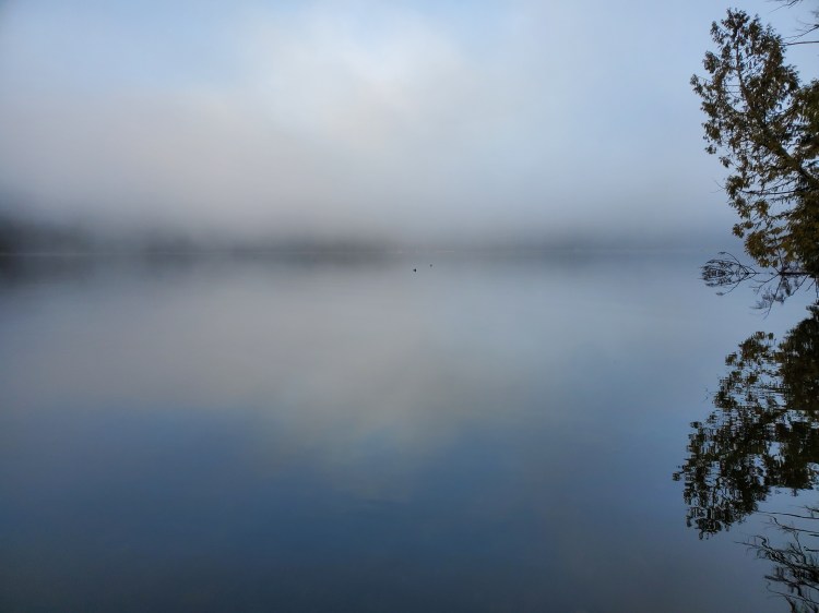
I didn’t spot any celestial bodies, but the scenery was still awe-inspiring. For example, the image below of flatwater shroud in the morning fog dotted with waterfowl.
Some more driftwood/deadwood to dodge.


The sun was trying hard to burn through the fog. The image below is the view back, toward the point, just west of White Pine Beach.

And a shot of the driftwood that collects at the north end of the lake.
I took a few more photos as I approached the end of my circumnavigation.

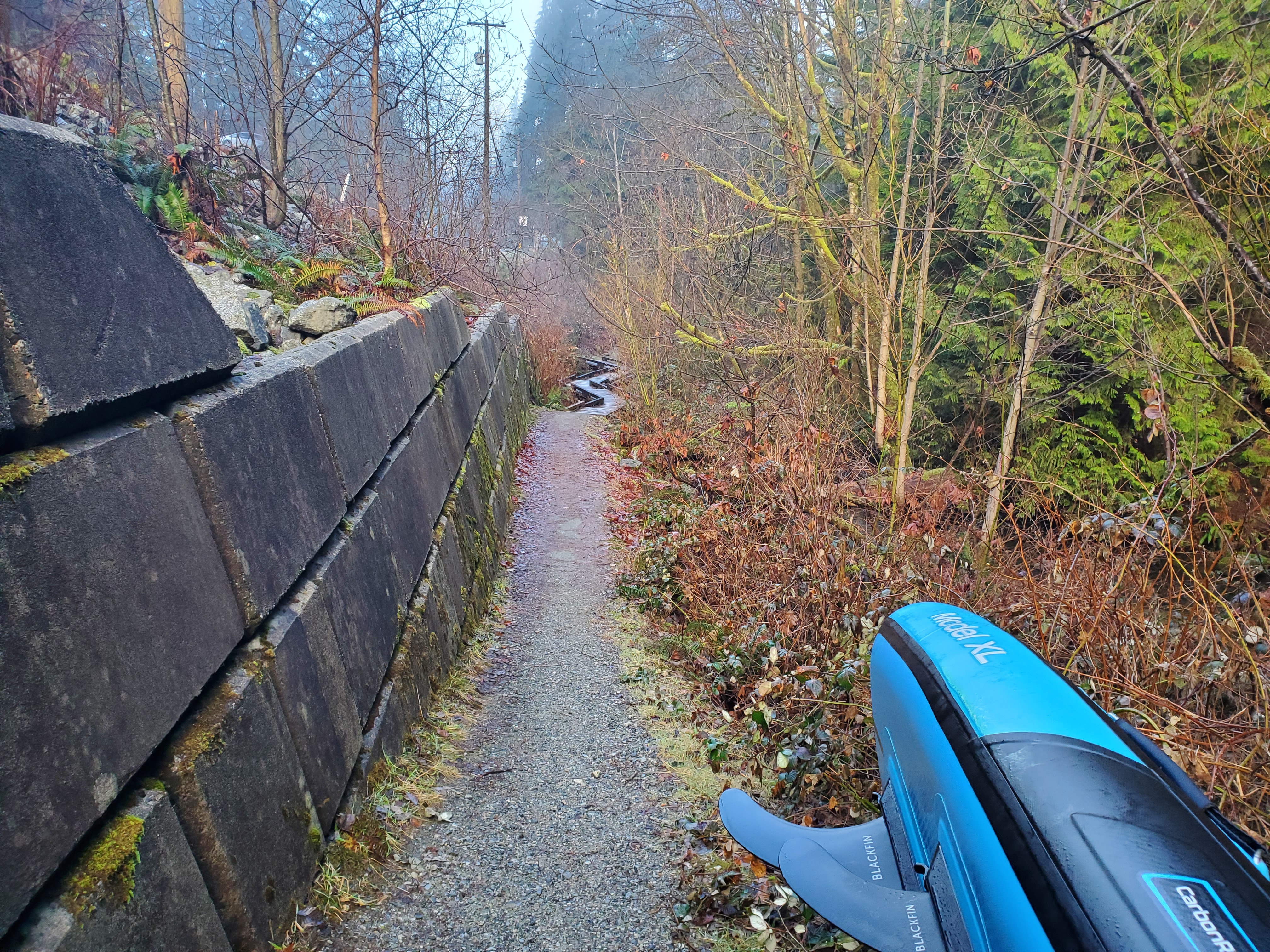
I landed at my launch spot without incidence. I quickly reconverted my drybag to backpack and then started my portage back to Səl̓ilw̓ət (Indian Arm). The image below is a shot of the Sasamat Lake Loop Trail that runs parallel to Bedwell Bay Road. I had anticipated walking on the shoulder of the road until reaching the lake, so taking the roadside trail was a pleasant surprise.
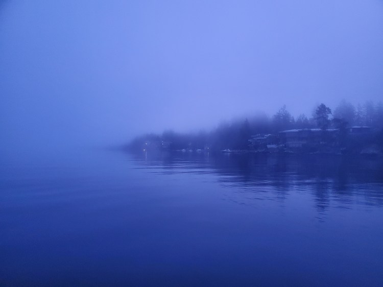
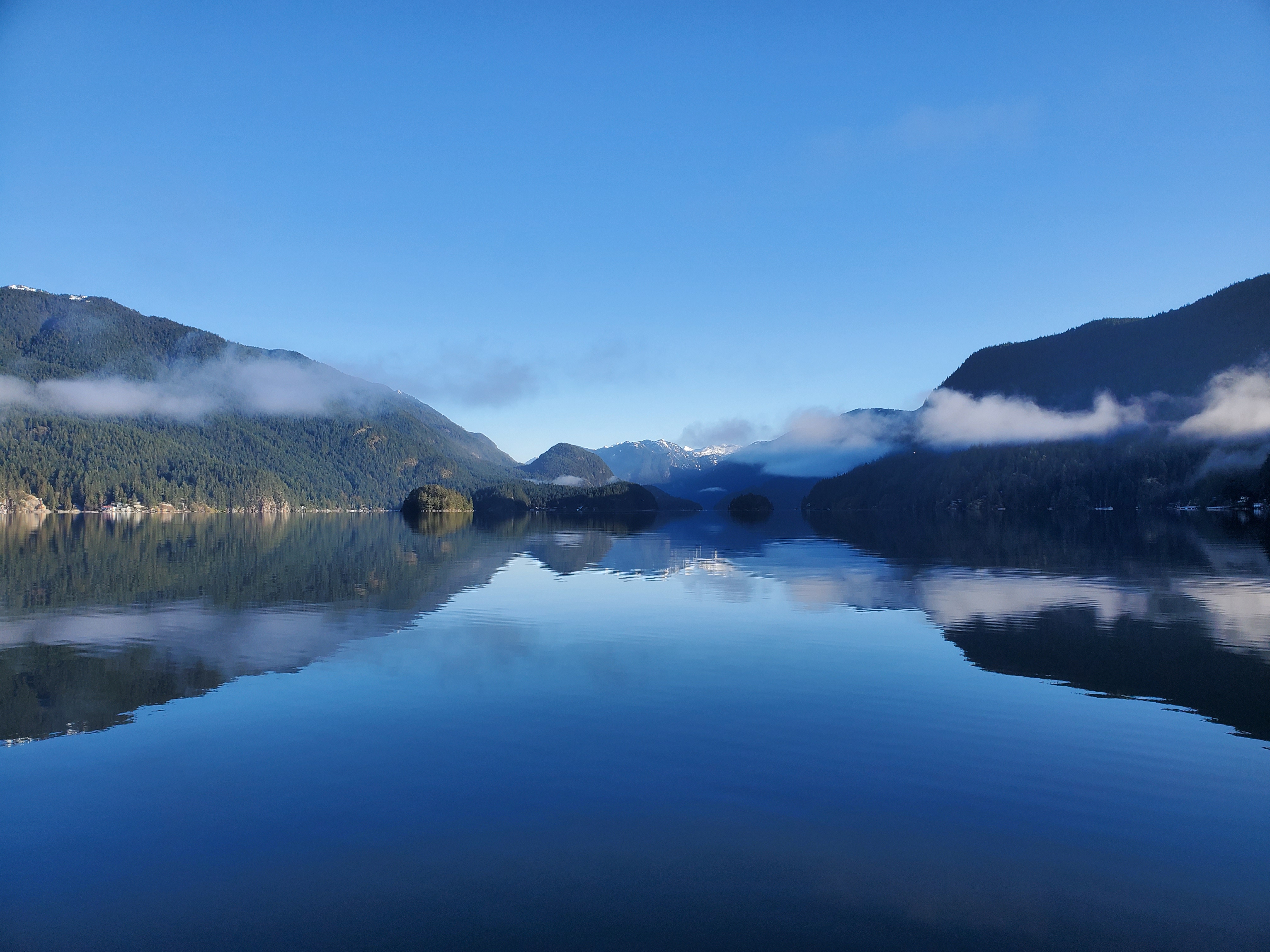
It was gorgeous out when I made it back to Səl̓ilw̓ət (Indian Arm). The water was pancake flat, and the fog had cleared, leaving a few scattered clouds. The image below is the view northward up the fjord, taken from nearby the Bedwell Bay Lighthouse.
Around the point toward Jug Island, I could see some fog. But it was clear and calm paddling until then.

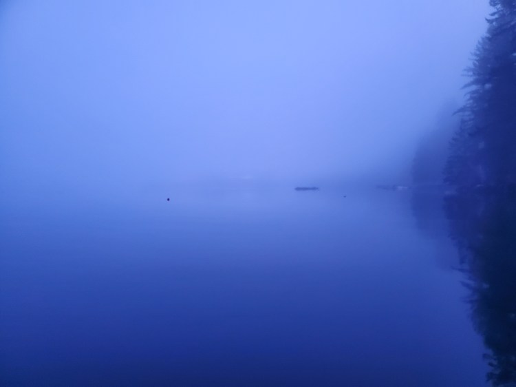
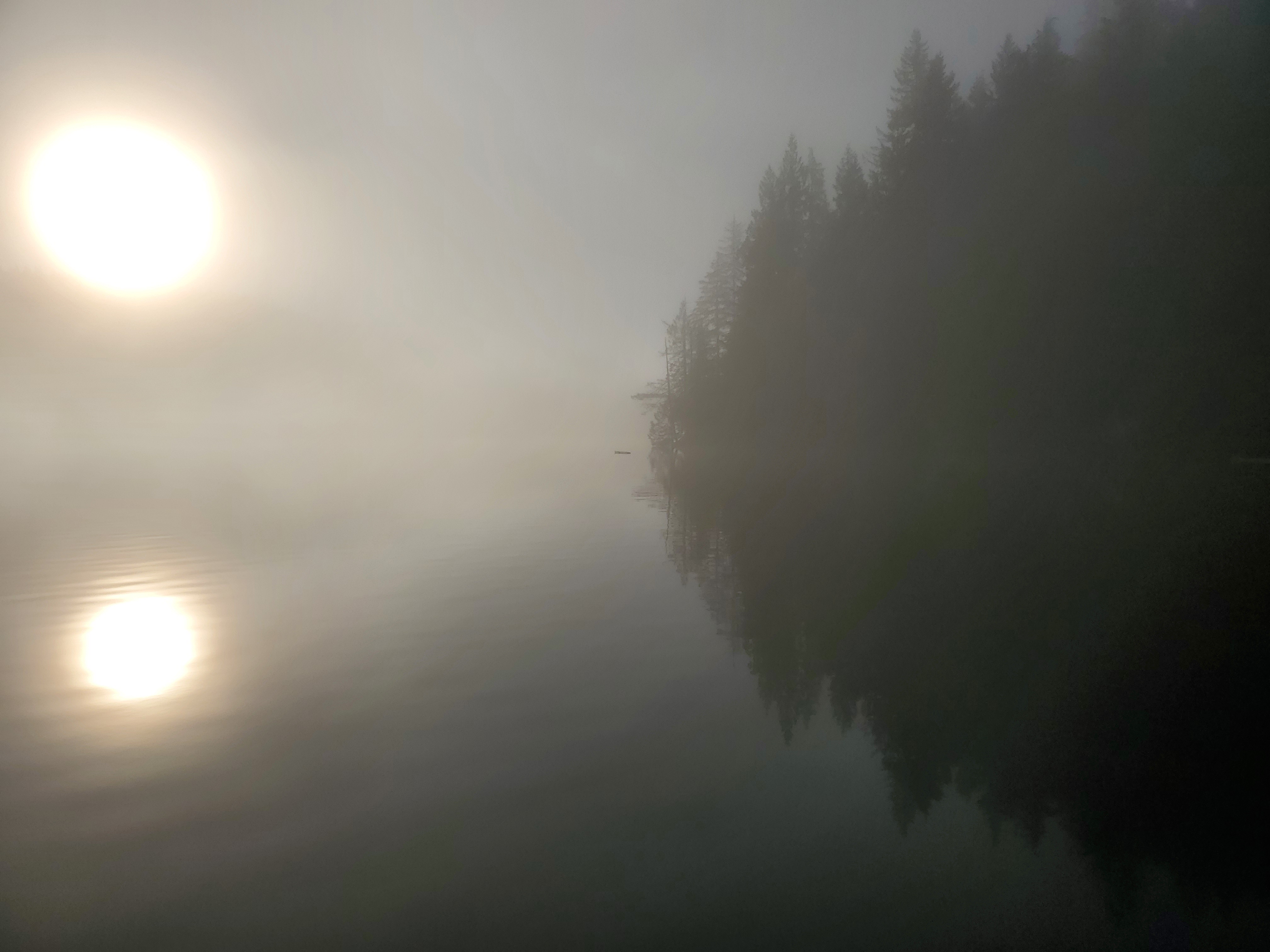
At Cosy Cove, I started back into the fog. By the time that I made it back to Hamber Island, I was again in the murk of the fog. I put my headlamp back on in hopes that it would make me slightly more visible. The picture below is the view toward Grey Rocks Island. Time for another blind crossing.
I listened again for any traffic. It was calm. I started to pick up my pace and paddled hard toward Grey Rocks Island. It came into view a little over halfway across.
Once on the other side and a bit closer to my launch spot, I paused to capture some video. With the sun out, visibility was poor, so you can imagine what it was like on my departure in the twilight. At the end of the video, I fumble my paddle while panning the shot and bobble the camera. Thankfully, I didn’t drop any of my instruments.
And one final picture from the shoreline at Lowry Waterfront Park after completing my SUPortage and Sasamat Lake circumnavigation.

Below is a recap of my route created on Relive. I recorded my trip with Geo Tracker. If the video below doesn’t work, here is a link to the video on Relive’s site.


2 thoughts on “Project Paddle: Day 3 (Sasamat Lake via Səl̓ilw̓ət)”